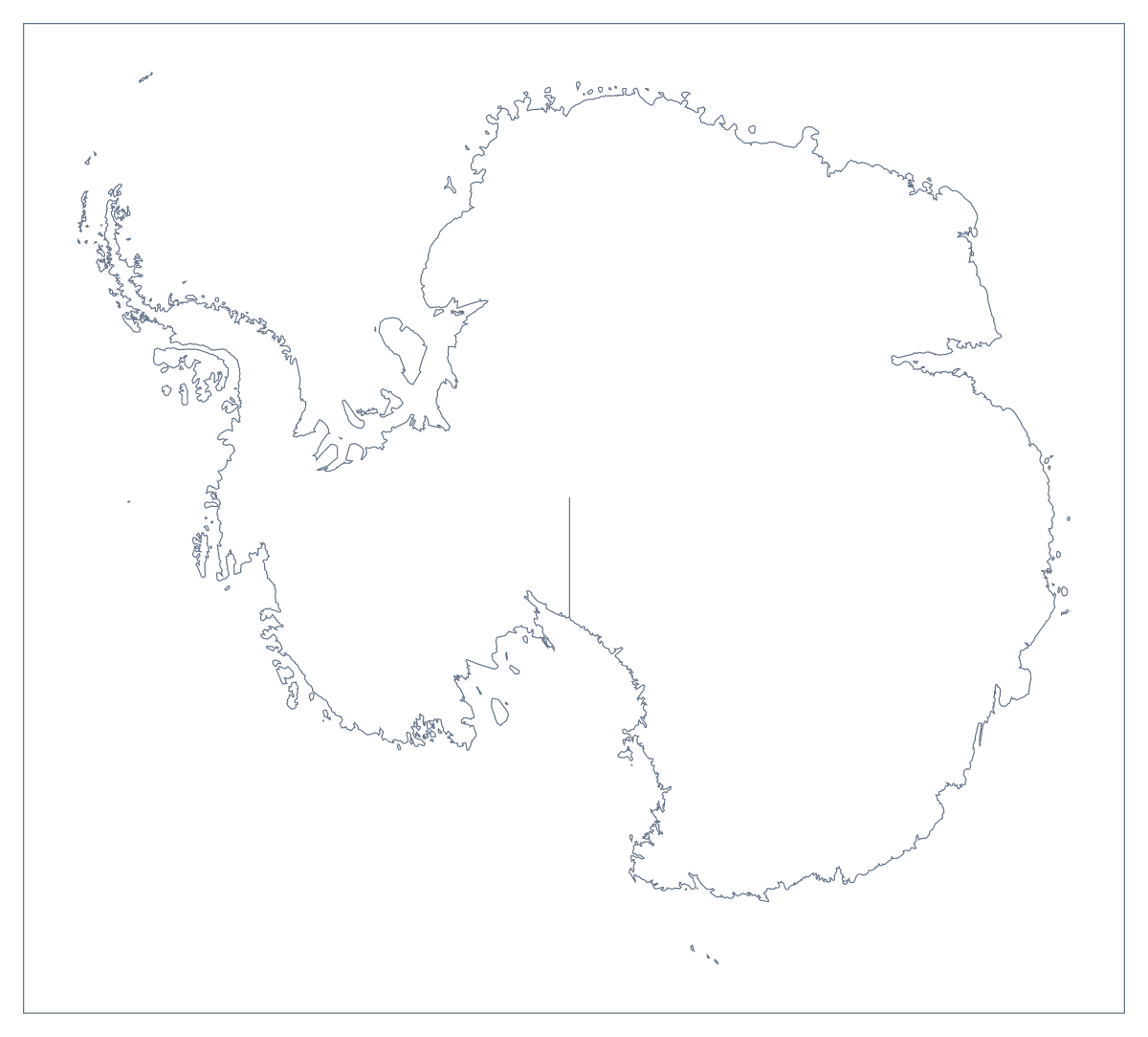
Blank map of Antarctica
The outline, free as a PNG, SVG or PDF. Label it, colour it in or drop it into a slide.
Using a blank map of Antarctica
Some tasks need only a shape. A blank map of Antarctica gives you one, ready to put into a slide, a worksheet or a design of your own. There is a single version, Outline only, because the map has no regions inside it, and it comes as a PNG on a transparent background, an SVG and a PDF. There are no names on it.
Behind a title or a topic
A transparent PNG is easy to place. Set it on a deep blue slide, with a title to one side and three short points, and the shape sits on your colour with nothing around it. It works as well on a report cover, a newsletter header or a poster panel.
Shape, then subject
For a classroom opener, show the PNG with no title and ask pupils what it is before revealing the topic. A worksheet can carry the outline with a heading and a ruled box beneath for pupils' notes. Older pupils can set it beside the outline of another continent, such as the blank map of Africa, or the blank map of the world, for a shape comparison on a single page.
Design and making
The SVG opens in Illustrator, Inkscape or Figma as vector paths. Fill it with a gradient, give it an outline, set it inside a circle for a badge or use it as a template for a craft or display cut-out. Because it is a vector file, it can be scaled to poster size and the lines stay sharp.
Next steps
The PDF is for A4 or Letter and prints at 100%; the printable map of Antarctica has the print choices. For a title, a colour or pins on the map itself, Customise this map opens the outline in the editor.
How to do it in MapMaker
- Look under Outline only, the one version of Antarctica, which has no names on it.
- Take the PNG for a slide or worksheet, the SVG for a design tool or a PDF on A4 or Letter.
- Place the file on your slide or page and set the background colour behind it.
- Add your own heading, numbers or notes in your document, beside the shape.
- To put names, pins or a title on the map itself, choose Customise this map and download from the editor.
Facts about Antarctica
This map shows Antarctica. The population is about 4,500 (2019 estimate). Its status is disputed.
Questions people ask
Is there more than one version of the blank map of Antarctica?
No. The map has no regions to draw in, so Outline only is the one version. It comes as a PNG on a transparent background, an SVG and a PDF on A4 or Letter.
Does the PNG have a transparent background?
Yes. Only the shape of Antarctica is drawn, so the PNG takes the colour of whatever sits behind it: a coloured slide, a photograph, a poster panel or a worksheet page.
Can I open the SVG in Illustrator, Inkscape or Figma?
Yes. The SVG is a vector file that opens in all three. You can scale the shape up to poster size without blurring, then fill it, outline it or cut it as a template.
How do I add a title or names to the map?
A blank map has no names. To add a title, pins or colour, choose Customise this map, which opens the same outline in the editor, and download the result from there.