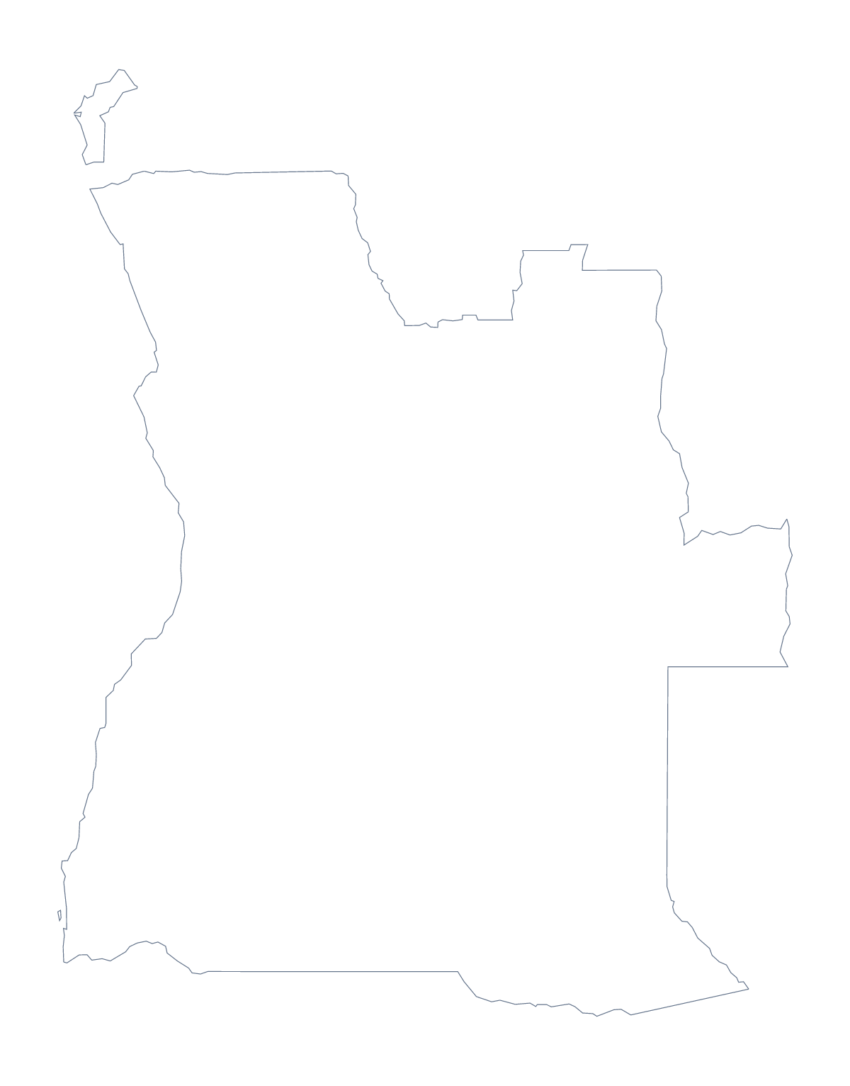
Blank map of Angola
The outline, free as a PNG, SVG or PDF. Label it, colour it in or drop it into a slide.
Using a blank map of Angola
A blank map of Angola is a starting point for something else: a slide on a project, a poster, a quiz sheet for a department folder. Pick Outline only for the shape alone or With borders for its 18 administrative areas, then take the PNG, SVG or PDF that your tool accepts.
Slide, report cover or poster
For a report cover, set the PNG on a coloured block. Its background is transparent, so the block's colour shows through and only the shape of Angola stands out. For a poster, place the SVG in Illustrator, Inkscape or Figma and stretch it as far as you like, because vector lines do not blur. Recolouring Cabinda or Moxico alone, say, picks out the part a poster is about.
A quiz that checks itself
With borders is the political blank map of Angola: 18 areas, none named. Number eight of them in your worksheet and use the list further down this page as the answer sheet.
A timed round adds pressure: show the numbered sheet for two minutes, then turn it over and ask pupils to write what they remember. Names such as Cuando Cubango and Lunda Sul are the ones to set a bonus on.
When you want more on the map
For names, pins or a title, Customise this map opens the same outline in the editor, where the Canvas tab adds a title and the pin tool adds Luanda or any other city. The editable map of Angola has the bar of map tools, and the printable map of Angola has the print choices.
How to do it in MapMaker
- Choose With borders for the 18 administrative areas, or Outline only for the shape of Angola alone.
- Download the PNG for a slide or worksheet, the SVG for a design tool or a PDF for A4 or Letter.
- Drop the file into your own document and add numbered boxes beside the areas you want named.
- Mark the answers against the list of areas further down this page.
- Choose Customise this map if the names or colours should be on the map itself.
The 18 administrative areas on the map
A key for labelling the map by hand.
- Bengo
- Benguela
- Bié
- Cabinda
- Cuando Cubango
- Cuanza Norte
- Cuanza Sul
- Cunene
- Huambo
- Huíla
- Luanda
- Lunda Norte
- Lunda Sul
- Malanje
- Moxico
- Namibe
- Uíge
- Zaire
Facts about Angola
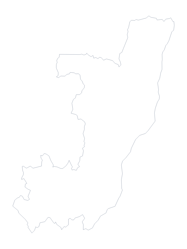
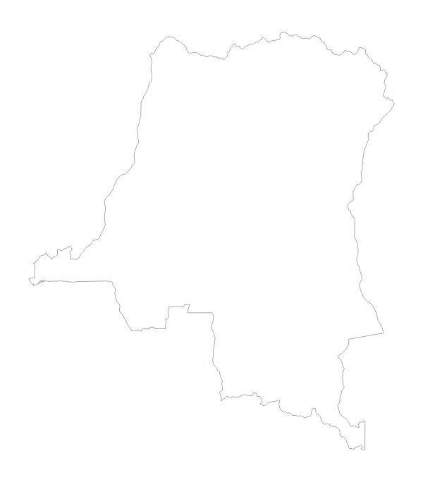
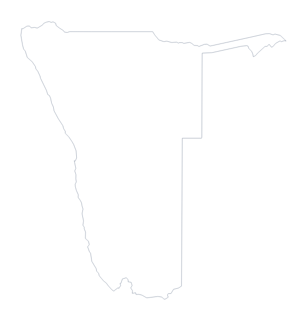
Angola is in Middle Africa. The capital is Luanda. The population is about 32 million (2019 estimate). Angola has an area of about 1,250,000 km². The largest cities are Luanda, Huambo, Lobito, Benguela and Moçâmedes. It borders Congo, Democratic Republic of the Congo, Namibia and Zambia. The map divides it into 18 administrative areas.
Maps of neighbouring places
Questions people ask
What is the difference between Outline only and With borders?
Outline only is the shape of Angola with nothing inside it. With borders adds the lines of its 18 administrative areas. Neither has names, so both work for labelling.
Can I open the SVG in Illustrator, Inkscape or Figma?
Yes. The SVG is a vector file that those programmes open, so you can recolour the areas, change line weights or scale Angola to any size without blurring.
Is there an answer key for a labelling quiz?
Yes. The list of the 18 administrative areas further down this page is the key. Number the areas on your worksheet, then check pupils' answers against the list.
How is this different from the printable map of Angola?
This page gives you the shape as a file to use in your own slide, worksheet or design. The printable page gives ready-made PDFs with colour and ink choices for printing straight away.