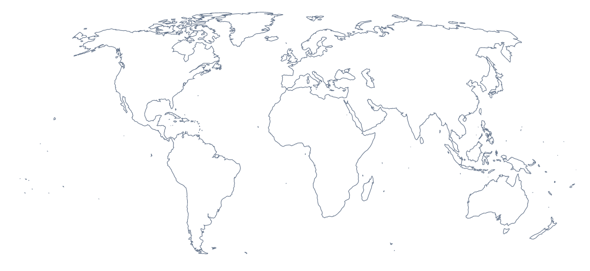
Blank map of the world
The outline, free as a PNG, SVG or PDF. Label it, colour it in or drop it into a slide.
Using a blank map of the world
A blank world map is the starting point for a lot of other work: the backdrop of a global slide, a worksheet a teacher builds in their own template, an infographic, a stencil for a mural. There are two versions, Outline only for the land without inner lines and With borders for all 243 countries and territories, each as a PNG with a transparent background, an SVG or a PDF.
Behind slides and figures
A world outline in pale grey on a title slide makes a quiet frame for a few headline numbers: customers in so many countries, offices on three continents. The PNG's background is transparent, so the slide's own colour shows through. In a report, the same file works as a cover image or a section divider.
Worksheets you build yourself
A teacher can drop the PNG into a class survey sheet: each pupil colours the countries their family has links to, and the sheets go up side by side on the wall. For a starter, shade one country by hand in your design tool and ask the class which it is. Outline only suits younger pupils, who can draw where they live and where their family comes from without a web of borders in the way.
Styling the SVG
Designers take the SVG into Illustrator, Inkscape or Figma. In With borders every country is a separate shape, so you can fill the ones a campaign is about and leave the rest as outlines, or thicken the lines for a poster. Outline only gives a single silhouette of the land, a good base for a dotted texture, a logo sketch or a laser-cut wall piece.
Which version, which file
The political blank map of the world is the With borders version; choose it whenever countries need telling apart. Take the PNG for slides and documents, the SVG for anything you will restyle or enlarge, and the PDF to print as it stands on A4 or Letter. For black and white or a class set, the printable map of the world has more choices; for names or colours, Customise this map opens the same outline in the editor.
How to do it in MapMaker
- Choose With borders for the countries, or Outline only for the land as one shape.
- Download the PNG for a slide or worksheet, the SVG for a design tool or PDF, A4 or PDF, Letter to print.
- Place the PNG on your slide; the transparent background lets the slide's colour show through.
- Open Customise this map for names, colours or a title, and download the result from the editor.
The 243 countries and territories on the map
A key for labelling the map by hand.
- Afghanistan
- Akrotiri Sovereign Base Area
- Åland
- Albania
- Algeria
- American Samoa
- Andorra
- Angola
- Anguilla
- Antarctica
- Antigua and Barbuda
- Argentina
- Armenia
- Aruba
- Australia
- Australian Indian Ocean Territories
- Austria
- Azerbaijan
- Bahamas
- Bahrain
- Bangladesh
- Barbados
- Belarus
- Belgium
- Belize
- Benin
- Bermuda
- Bhutan
- Bolivia
- Bosnia and Herzegovina
- Botswana
- Brazil
- British Indian Ocean Territory
- British Virgin Islands
- Brunei
- Bulgaria
- Burkina Faso
- Burundi
- Cabo Verde
- Cambodia
- Cameroon
- Canada
- Cayman Islands
- Central African Republic
- Chad
- Chile
- China
- Colombia
- Comoros
- Congo
- Cook Islands
- Costa Rica
- Côte d'Ivoire
- Croatia
- Cuba
- Curaçao
- Cyprus
- Czechia
- Democratic Republic of the Congo
- Denmark
- Dhekelia Cantonment
- Djibouti
- Dominica
- Dominican Republic
- Ecuador
- Egypt
- El Salvador
- Equatorial Guinea
- Eritrea
- Estonia
- Eswatini
- Ethiopia
- Falkland Islands
- Faroe Islands
- Fiji
- Finland
- France
- French Polynesia
- French Southern and Antarctic Lands
- Gabon
- Gambia
- Georgia
- Germany
- Ghana
- Gibraltar
- Greece
- Greenland
- Grenada
- Guam
- Guatemala
- Guernsey
- Guinea
- Guinea-Bissau
- Guyana
- Haiti
- Honduras
- Hong Kong
- Hungary
- Iceland
- India
- Indonesia
- Iran
- Iraq
- Ireland
- Isle of Man
- Israel
- Italy
- Jamaica
- Japan
- Jersey
- Jordan
- Kazakhstan
- Kenya
- Kiribati
- Kosovo
- Kuwait
- Kyrgyzstan
- Laos
- Latvia
- Lebanon
- Lesotho
- Liberia
- Libya
- Liechtenstein
- Lithuania
- Luxembourg
- Macau
- Madagascar
- Malawi
- Malaysia
- Maldives
- Mali
- Malta
- Marshall Islands
- Mauritania
- Mauritius
- Mexico
- Micronesia
- Moldova
- Monaco
- Mongolia
- Montenegro
- Montserrat
- Morocco
- Mozambique
- Myanmar
- Namibia
- Nauru
- Nepal
- Netherlands
- New Caledonia
- New Zealand
- Nicaragua
- Niger
- Nigeria
- Niue
- Norfolk Island
- North Korea
- North Macedonia
- Northern Cyprus
- Northern Mariana Islands
- Norway
- Oman
- Pakistan
- Palau
- Palestine
- Panama
- Papua New Guinea
- Paraguay
- Peru
- Philippines
- Pitcairn Islands
- Poland
- Portugal
- Puerto Rico
- Qatar
- Romania
- Russia
- Rwanda
- Saint Barthélemy
- Saint Helena
- Saint Kitts and Nevis
- Saint Lucia
- Saint Martin
- Saint Pierre and Miquelon
- Saint Vincent and the Grenadines
- Samoa
- San Marino
- Sao Tome and Principe
- Saudi Arabia
- Senegal
- Serbia
- Seychelles
- Sierra Leone
- Singapore
- Sint Maarten
- Slovakia
- Slovenia
- Solomon Islands
- Somalia
- Somaliland
- South Africa
- South Georgia and the South Sandwich Islands
- South Korea
- South Sudan
- Spain
- Sri Lanka
- Sudan
- Suriname
- Sweden
- Switzerland
- Syria
- Taiwan
- Tajikistan
- Tanzania
- Thailand
- Timor-Leste
- Togo
- Tonga
- Trinidad and Tobago
- Tunisia
- Turkey
- Turkmenistan
- Turks and Caicos Islands
- Tuvalu
- Uganda
- Ukraine
- United Arab Emirates
- United Kingdom
- United States Minor Outlying Islands
- United States of America
- United States Virgin Islands
- Uruguay
- Uzbekistan
- Vanuatu
- Vatican City
- Venezuela
- Vietnam
- Wallis and Futuna
- Western Sahara
- Yemen
- Zambia
- Zimbabwe
Facts about the world
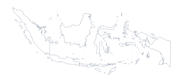
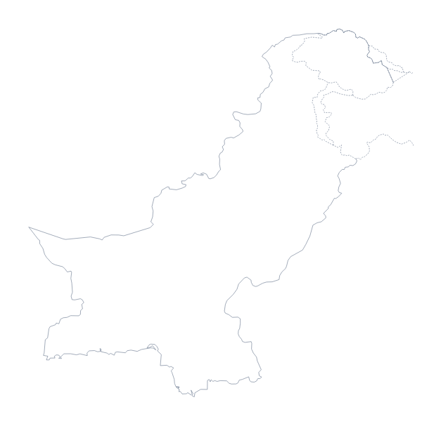
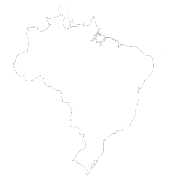
The world map shows 243 countries and territories. The most populous are China, India, United States of America, Indonesia, Pakistan, Brazil, Nigeria, Bangladesh, Russia and Mexico.
Maps of places in the world
Questions people ask
Is there a political blank map of the world?
Yes, the With borders version. It draws the borders of all 243 countries and territories with no names, so each country is a separate shape you can fill, number or label yourself.
Does the PNG have a transparent background?
Yes. Only the land and its lines are drawn, so the world outline sits on the colour of your slide, poster or worksheet without a white box around it.
Can I make the outline bigger without it going blurry?
Use the SVG or the PDF. Both are vector files, so the world map stays sharp whether it fills a phone screen or a large print for a corridor wall. The PNG is best used at the size it downloads.
Does the blank map show the names of the countries?
No, a blank map has no names on it. The list of countries further down this page names all 243, and Customise this map opens the same outline in the editor if you want the names shown.