Blank map of Armenia
The outline, free as a PNG, SVG or PDF. Label it, colour it in or drop it into a slide.
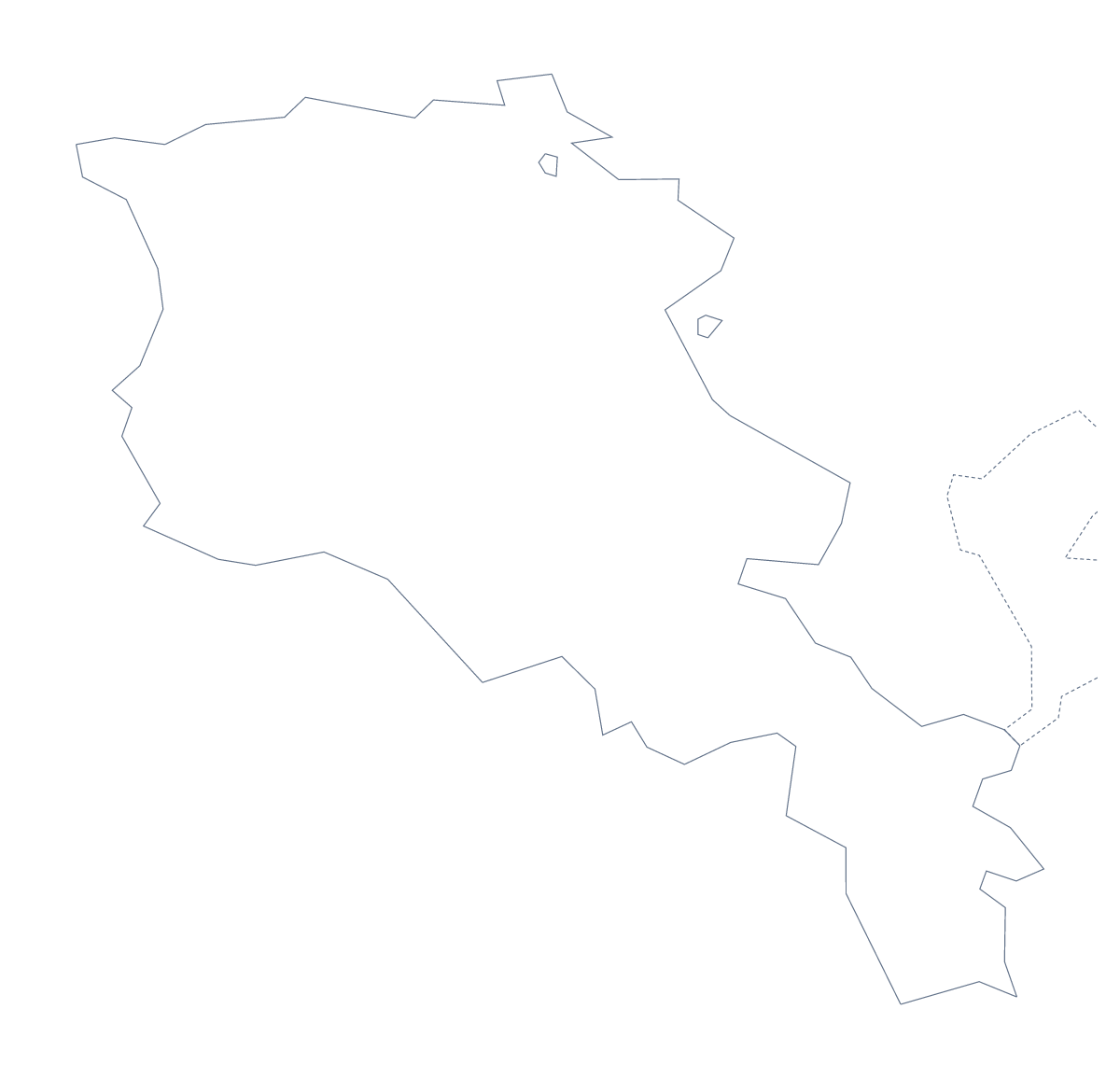
Using a blank map of Armenia
A blank outline of Armenia ends up inside other people's work: a worksheet a teacher is writing, a revision card, a slide about the region, a poster or a craft template. Two versions are here, Outline only for the bare shape and With borders for the shape with its 11 administrative areas drawn in, each as a PNG, an SVG and a PDF.
A locator in your own slides
Place the With borders PNG in the corner of each slide of a talk and mark the area you are discussing with a shape from your slide tool, such as an outlined circle or a semi-transparent fill laid over it. The list of administrative areas further down this page tells you which area is which while you build the slides.
For a project booklet, Outline only also makes a clean silhouette for the front cover, with the title set across it.
On a slide, a poster or a template
On a slide, the PNG's transparent background lets your theme colour show around the outline, with space for a heading and three short points. In Illustrator, Inkscape or Figma the SVG can be filled with a pattern, given a thick stroke for a poster or traced as a stencil. Crafters can print the outline large, cut it from card and use it as a template.
Choosing the version and the file
With borders draws the 11 administrative areas and nothing else: take it for labelling, numbering or colouring by area. Outline only is the cleaner choice for a silhouette, a title slide or younger children. The PNG goes into worksheets and slides, the SVG into design tools, and the PDF prints at 100% on A4 or Letter.
For black and white, or areas shaded before printing, go to the printable map of Armenia. For names, pins or your own colours on the map itself, Customise this map opens the same outline in the editor.
How to do it in MapMaker
- Decide between Outline only for the shape and With borders for the 11 areas.
- Download the PNG for a worksheet or slide, the SVG for a design tool or a PDF for your paper.
- Place the file in your slide or document and mark the areas you are presenting, using the list on this page to identify them.
- Choose Customise this map if the map itself needs names, colours or a title, then download from the editor.
The 11 administrative areas on the map
A key for labelling the map by hand.
- Aragatsotn
- Ararat
- Armavir
- Gegharkunik
- Kotayk
- Lori
- Shirak
- Syunik
- Tavush
- Vayots Dzor
- Yerevan
Facts about Armenia
Armenia is in Western Asia. The capital is Yerevan. The population is about 3 million (2019 estimate). Armenia has an area of about 29,600 km². The largest cities are Yerevan, Gyumri, Vanadzor, Gavarr and Artashat. It borders Azerbaijan, Georgia, Iran and Turkey. The map divides it into 11 administrative areas.
Maps of neighbouring places
Questions people ask
What is the difference between Outline only and With borders?
Outline only is the shape of Armenia with nothing inside it. With borders adds the lines of its 11 administrative areas, still without names, so each area can be numbered, labelled or coloured in your own document.
Is there an answer key for a labelling quiz?
Yes. The list further down this page names all 11 administrative areas, from Aragatsotn to Yerevan. Keep it as the answer sheet for any quiz you build on the With borders file.
Can I open the SVG in Illustrator, Inkscape or Figma?
Yes. The SVG of Armenia is a vector file, so it opens in all three and scales to any size without blurring. In the With borders version each area's line can be restyled on its own.