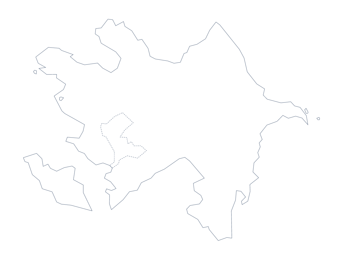
Blank map of Azerbaijan
The outline, free as a PNG, SVG or PDF. Label it, colour it in or drop it into a slide.
Using a blank map of Azerbaijan
People who download a blank map of Azerbaijan usually have somewhere to put it already: a worksheet in progress, a slide deck, a report cover or a design file. There are two versions to choose from. Outline only is the shape of the country with nothing inside; With borders adds the lines of its 78 administrative areas. Each is ready as a PNG, an SVG and a PDF.
Building a quiz around a few areas
Naming all 78 areas in one go is a lot, which makes With borders a good base for a focused quiz. In your worksheet, put numbers on eight areas you have taught, perhaps Baku, Sumqayit, Ganja, Mingachevir, Quba, Shamakhi, Astara and Zaqatala, and leave a line for each answer. The list of administrative areas further down this page is the answer sheet. For a colouring task, give pupils a rule to follow, such as one colour for each area they have read about.
The shape on a slide or a cover
For a presentation about Azerbaijan, place the Outline only PNG on a title slide: the transparent background means the slide's own colour surrounds the shape. A report or a brochure cover can take the SVG, filled with a brand colour in Illustrator, Inkscape or Figma and scaled without blurring. Designers who need the inner lines can keep With borders and set the area lines to a hairline, so they read as texture behind the text.
Version and file at a glance
With borders draws the 78 administrative areas, for numbering, labelling and colouring. Outline only is the plain shape, for slides, covers and younger children. PNG for documents and slides, SVG for design tools, PDF for A4 or Letter, which prints at 100%. For black-and-white sheets or colours added before printing, see the printable map of Azerbaijan. For names on the map itself, Customise this map opens the outline in the editor.
How to do it in MapMaker
- Choose With borders if pupils will work with the areas, or Outline only for the shape alone.
- Download the PNG for your worksheet or slide, or the SVG to restyle it in a design tool.
- Number the areas you want named and check answers against the list on this page.
- For names, a title or coloured areas on the map itself, choose Customise this map and download from the editor.
The 78 administrative areas on the map
A key for labelling the map by hand.
- Absheron
- Agdam
- Agdash
- Aghjabadi
- Agstafa
- Agsu
- Astara
- Babek
- Baku
- Balakan
- Barda
- Beylagan
- Bilasuvar
- Dashkasan
- Fuzuli
- Gadabay
- Ganja
- Gobustan
- Goranboy
- Goychay
- Goygol
- Hajigabul
- Imishli
- Ismayilli
- Jabrayil
- Jalilabad
- Julfa
- Kalbajar
- Kangarli
- Khachmaz
- Khizi
- Khojali
- Khojavend
- Kurdamir
- Lankaran
- Lankaran
- Lankaran
- Lerik
- Masally
- Mingachevir
- Naftalan
- Nakhchivan
- Neftchala
- Oghuz
- Ordubad
- Qabala
- Qakh
- Qazax
- Quba
- Qubadli
- Qusar
- Saatly
- Sabirabad
- Sadarak
- Salyan
- Samukh
- Shabran
- Shahbuz
- Shaki
- Shamakhi
- Shamkir
- Sharur
- Sheki
- Shusha
- Şirvan
- Siyazan
- Stepanakert
- Sumqayit
- Susa
- Tartar
- Tovuz
- Ujar
- Yardimli
- Yevlakh
- Yevlakh
- Zangilan
- Zaqatala
- Zardab
Facts about Azerbaijan
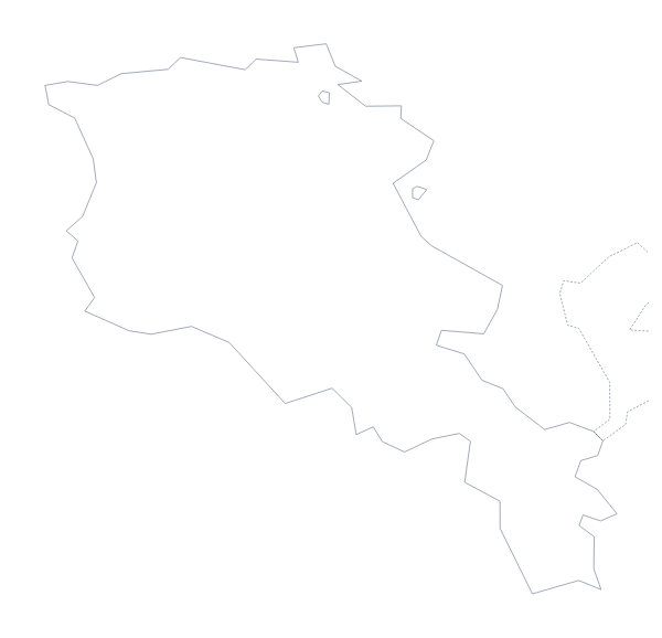
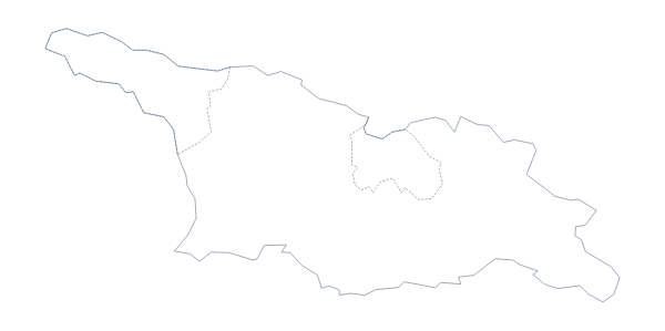
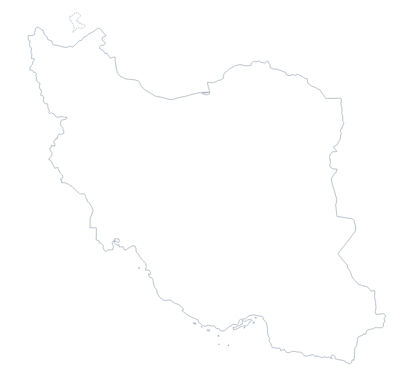
Azerbaijan is in Western Asia. The capital is Baku. The population is about 10 million (2019 estimate). Azerbaijan has an area of about 86,200 km². The largest cities are Baku, Ganca, Sumqayt, Naxcivan and Şirvan. It borders Armenia, Georgia, Iran, Russia and Turkey. The map divides it into 78 administrative areas.
Maps of neighbouring places
Questions people ask
Does the blank map show the names of the administrative areas?
No. Neither version of the blank map of Azerbaijan has names on it. The 78 areas are listed further down this page instead, so you can choose which to number and keep the list as the answer key.
Can I make the outline bigger without it going blurry?
Yes, with the SVG or the PDF. Both are vector files, so the outline and the lines of the 78 areas stay sharp at poster size. The PNG is best kept at the size it comes in.
Which file should I use in a worksheet, a slide or a design?
Put the PNG in a worksheet or a slide, where its transparent background shows the page behind it. Open the SVG in Illustrator, Inkscape or Figma for design work, and take a PDF when the outline is going straight onto A4 or Letter.