Blank map of Georgia
The outline, free as a PNG, SVG or PDF. Label it, colour it in or drop it into a slide.
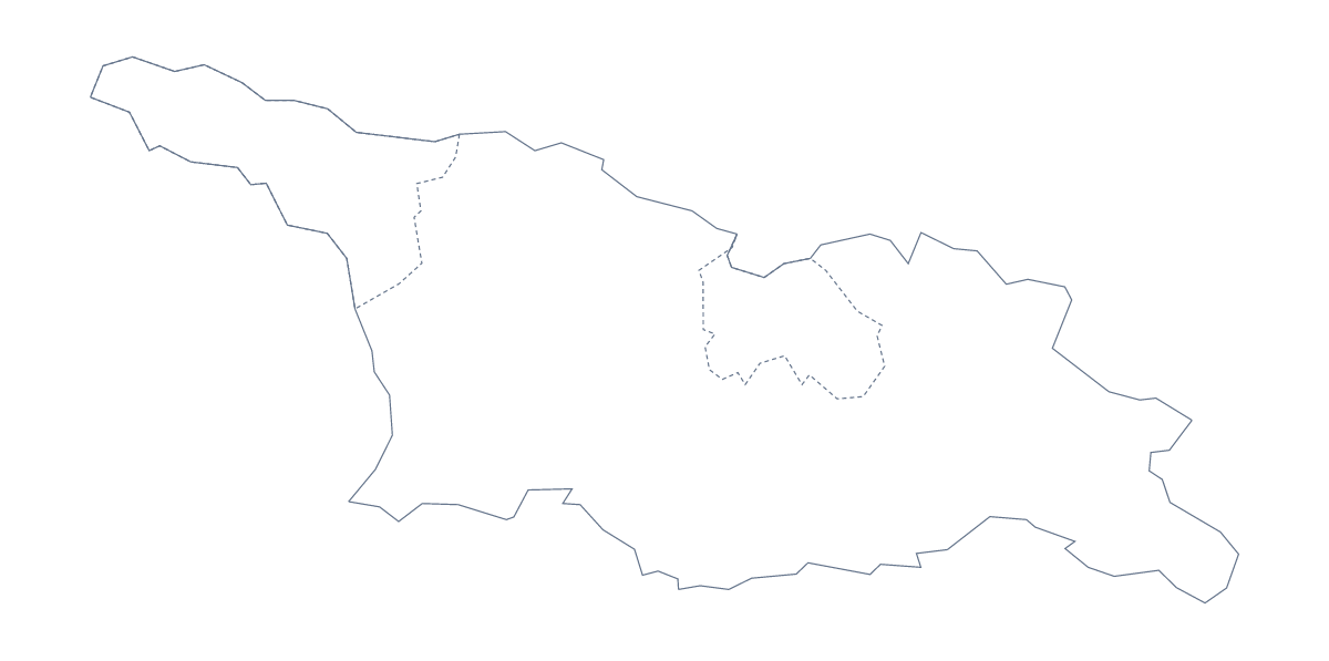
Using a blank map of Georgia
This is the blank map of Georgia, the country. If you need the US state, it is on the blank map of the US states. People take the outline of Georgia for worksheets they are writing, slides about a trip or a project, and designs such as a tour brochure or a poster. There are two versions, Outline only and With borders, which draws its 12 administrative areas, each as a PNG, an SVG and a PDF.
A "which area?" quiz
Paste the With borders PNG into a worksheet six times, small, and shade a different area on each copy in your document: Tbilisi, Adjara, Kakheti, Imereti, Guria and Kvemo Kartli, for instance. Under each copy, leave a line for the name. Pupils look at the shaded shape and write which area it is, checking against the list further down this page once they finish. The same idea works as a slide quiz, one shaded area per slide.
Slides, brochures and journals
For a talk about a trip, set the Outline only PNG on a title slide in your theme colour and add a heading and the dates beside it. A tour company can open the SVG in Illustrator, Inkscape or Figma, draw its route over the outline in its own brand colour and use it on a brochure page or a website banner. Travellers keeping a journal can print the outline small and stick it on the first page.
Version and file
With borders draws the 12 administrative areas, with no names, and suits anything built on the areas. Outline only keeps the shape bare, for title slides, logos and designs. Use the PNG for slides and documents, the SVG to restyle or scale in a design tool, and the PDF to print at 100% on A4 or Letter. For black-and-white sheets, or areas shaded on the page before printing, go to the printable map of Georgia. Names or pins on the map itself come from Customise this map.
How to do it in MapMaker
- Choose With borders to work with the 12 areas, or Outline only for the shape of Georgia alone.
- Download the PNG for a slide or worksheet, or the SVG to restyle it in a design tool.
- Shade or number areas in your own file and use the list on this page to check answers.
- For names, pins or a title on the map itself, choose Customise this map and download from the editor.
The 12 administrative areas on the map
A key for labelling the map by hand.
- Abkhazia
- Adjara
- Guria
- Imereti
- Kakheti
- Kvemo Kartli
- Mtskheta-Mtianeti
- Racha-Lechkhumi and Kvemo Svaneti
- Samegrelo-Zemo Svaneti
- Samtskhe–Javakheti
- Shida Kartli
- Tbilisi
Facts about Georgia
Georgia is in Western Asia. The capital is Tbilisi. The population is about 3.7 million (2019 estimate). Georgia has an area of about 69,500 km². The largest cities are Tbilisi, Kutaisi, Rustavi, Batumi and Sukhumi. It borders Armenia, Azerbaijan, Russia and Turkey. The map divides it into 12 administrative areas.
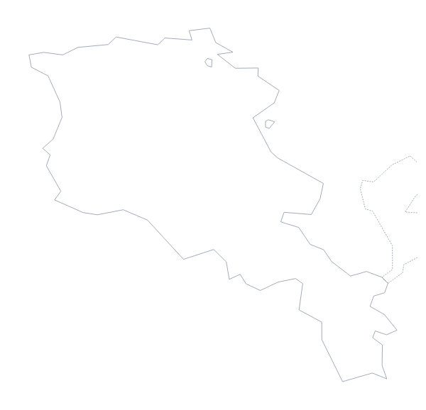
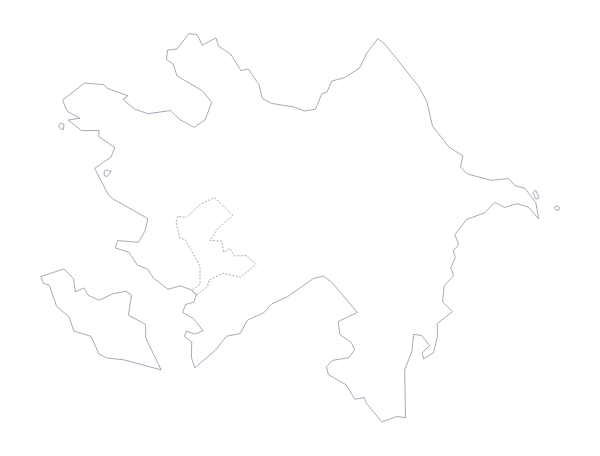
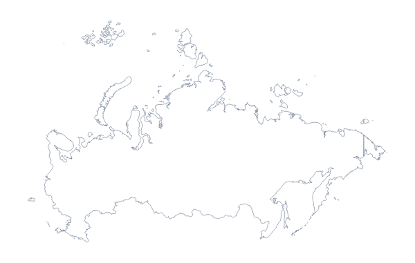
Maps of neighbouring places
Questions people ask
Is this the country or the US state of Georgia?
This page has the country. The US state of Georgia is one of the shapes on the blank map of the US states, which has its own Outline only and With borders files.
What is the difference between Outline only and With borders?
Outline only is the shape of Georgia with no lines inside. With borders draws its 12 administrative areas, without names, for labelling, numbering or colouring them in your own worksheet or design.
Does the PNG have a transparent background?
Yes. The PNG holds only the outline, and the inner lines in the With borders version, so it sits on a coloured slide, a poster or a shaded box with nothing around it.