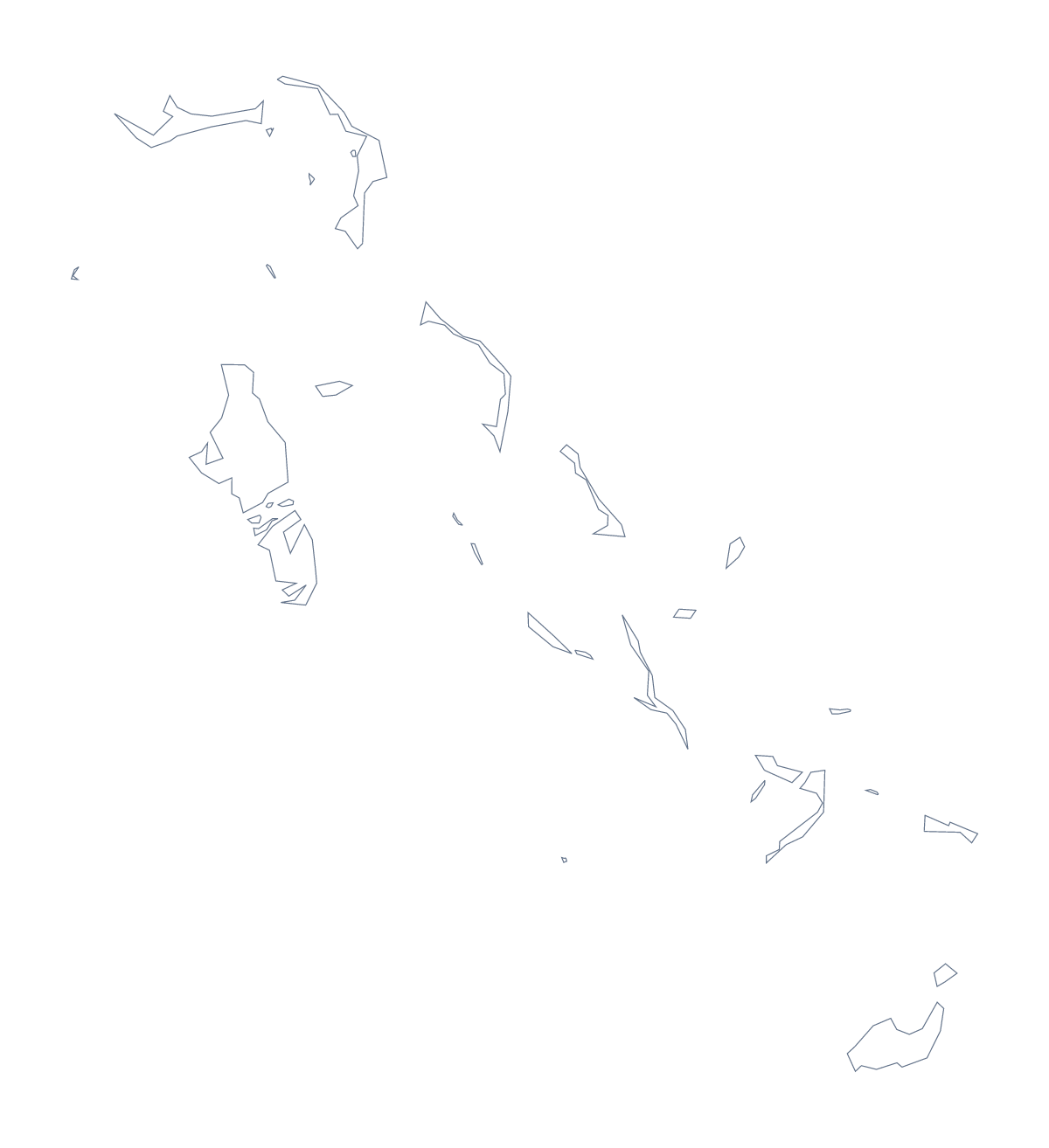
Blank map of the Bahamas
The outline, free as a PNG, SVG or PDF. Label it, colour it in or drop it into a slide.
Using a blank map of the Bahamas
The usual reason to want a blank map of the Bahamas is to build something of your own around it, and the number of areas is what decides how. With borders draws 30 administrative areas, which is far more than most slides need, while Outline only gives you the shape on its own. Each version is a PNG on a transparent background, an SVG or a PDF.
The 30 areas in a design tool
You rarely want all 30 in view at once. Open the SVG in a design tool and give the five or six areas your slide or poster is about a strong fill, with the rest in a pale tint. Export the result as a PNG and paste it into your slide. The list further down this page gives the names for your captions: Acklins, Exuma, Inagua and the other names are all there in order.
A second approach starts from Outline only. Use it as the base for a route graphic or a delivery-area sketch, with your own lines and labels drawn over the shape in the design tool.
For a slide or a poster
Drop the PNG of either version onto a slide. The transparent background lets the slide's colour fill the space around the shape, and a title can sit beside it. The SVG goes to a poster: thicken the outline, recolour the areas from a palette and add your own labels.
Choosing
The political blank map of the Bahamas is the With borders version. Pick Outline only for a silhouette, a header or a logo sketch, where the inner lines would only add clutter. Take the PDF for A4 or Letter if you want the shape on paper as it is.
For names, colours or pins, choose Customise this map; the editable map of the Bahamas does the same in the page itself.
How to do it in MapMaker
- Choose With borders for the 30 administrative areas, or Outline only for the shape alone.
- Pick PNG for a worksheet or slide, SVG for a design tool or a PDF for A4 or Letter.
- Open the SVG, fill the areas your slide is about and export it.
- Take your captions from the list of areas on this page.
- Choose Customise this map for names, colour or a title.
The 30 administrative areas on the map
A key for labelling the map by hand.
- Acklins
- Berry Islands
- Bimini
- Black Point
- Cat Island
- Central Abaco
- Central Andros
- Central Eleuthera
- Crooked Island
- East Grand Bahama
- Exuma
- Freeport
- Harbour Island
- Inagua
- Long Island
- Mangrove Cay
- Mayaguana
- Moore's Island
- New Providence
- North Abaco
- North Andros
- North Eleuthera
- Ragged Island
- Rum Cay
- San Salvador Island
- South Abaco
- South Andros
- South Eleuthera
- Spanish Wells
- West Grand Bahama
Facts about the Bahamas
The Bahamas is in the Caribbean. The capital is Nassau. The population is about 390,000 (2019 estimate). The Bahamas has an area of about 12,600 km². The largest cities are Nassau and Freeport. Across the sea, its neighbours include Cuba, Dominican Republic, Haiti and United States of America. The map divides it into 30 administrative areas.
Maps of neighbouring places
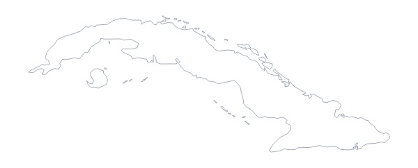
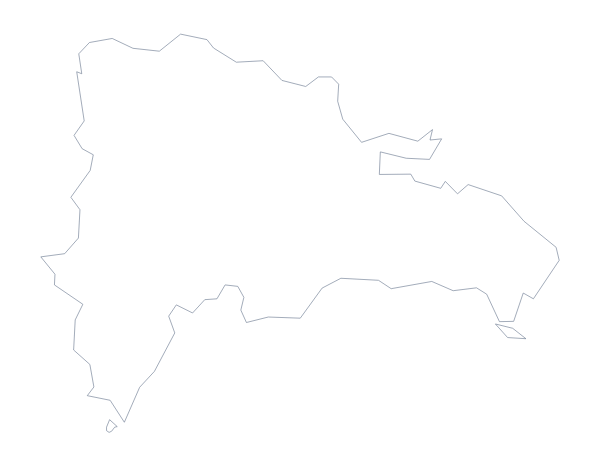
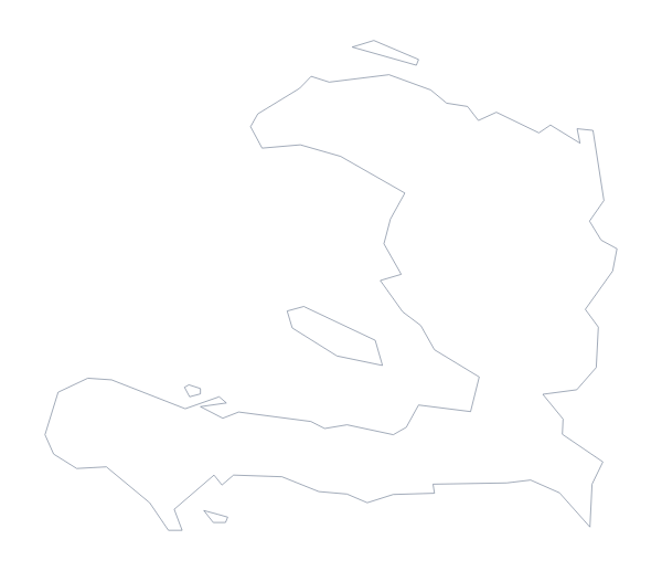
Questions people ask
What is the difference between Outline only and With borders?
Outline only is the shape of the Bahamas with nothing inside it. With borders adds the lines between all 30 administrative areas, which makes it the political blank map. Neither version has any names.
How many areas does the blank map show?
The With borders version draws 30 administrative areas as separate shapes. The list further down this page names them in order, and works as a key for anyone numbering or labelling the map.
Can I make the outline bigger without it going blurry?
Yes, if you use the SVG or the PDF. Both are vector files, so the lines of the Bahamas stay sharp as you enlarge them. The PNG is fixed in size, so scale that one down rather than up.
Which file should I use in a worksheet, a slide or a design?
Use the PNG in a worksheet or slide, the SVG in Illustrator, Inkscape or Figma, and the PDF when you want the outline on A4 or Letter. All three are drawn from the same map.