Blank map of Bahrain
The outline, free as a PNG, SVG or PDF. Label it, colour it in or drop it into a slide.
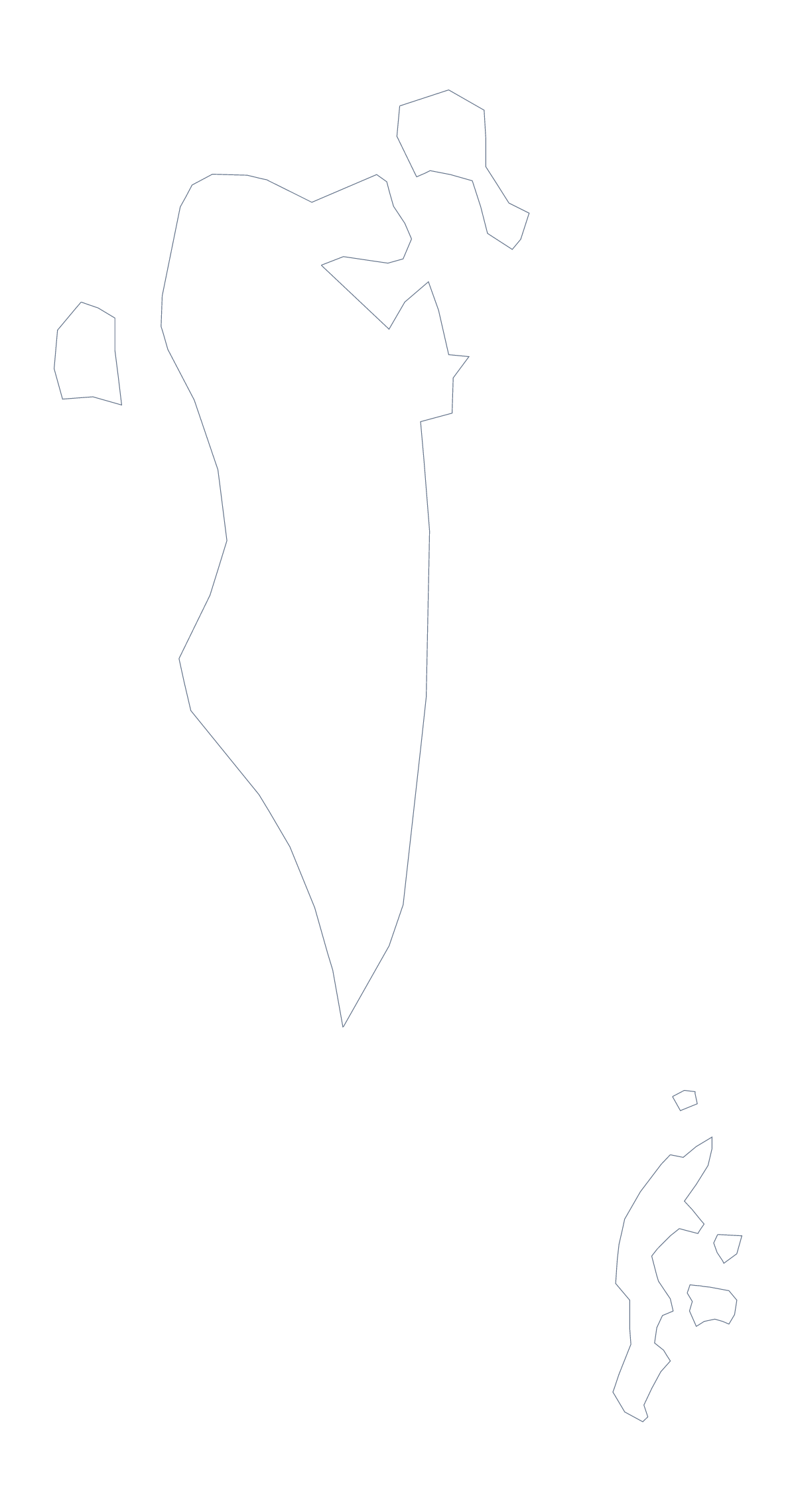
Using a blank map of Bahrain
Bahrain's outline is compact, which makes it easy to place: it sits happily in the corner of a slide, in a logo sketch or on a cover page. This page has two versions, Outline only, the shape on its own, and With borders, which draws the 5 administrative areas. Each comes as a PNG on a transparent background, an SVG and a PDF.
In a design tool
Open the SVG in Illustrator, Inkscape or Figma and the whole map is a handful of clean paths. Scale it up for a banner, give the outline a thick stroke, fill the five areas with brand colours or cut the shape from card for a craft project. A small place enlarges well, since vector lines do not blur as the shape grows.
In a worksheet or a talk
Drop the PNG into a word processor or a slide. The transparent background means the colour of the page shows through, so a tinted worksheet or a dark title slide works without a white box around the map. On With borders, number the five areas in your own copy and give pupils the names to match, or set the five areas as a colour key for a slide, with a line of your own beside each.
Which version
Outline only is best for a silhouette, a first drawing exercise or an icon. With borders, the political blank map of Bahrain, suits labelling and colouring by area. The list of areas lower down the page is the key for checking answers. If you need printing choices, such as black and white, the printable map of Bahrain has them.
How to do it in MapMaker
- Choose Outline only for the shape of Bahrain, or With borders for its 5 areas.
- Download the PNG for a slide, the SVG for a design tool or the PDF for A4 or Letter.
- Place the file on your page and add numbers beside the areas you want named.
- Check the answers against the list of areas further down this page.
- For names or colours on the map itself, choose Customise this map.
The 5 administrative areas on the map
A key for labelling the map by hand.
- Capital
- Central
- Muharraq
- Northern
- Southern
Facts about Bahrain
Bahrain is in Western Asia. The capital is Manama. The population is about 1.6 million (2019 estimate). Bahrain has an area of about 690 km². Across the sea, its neighbours include Iran, Qatar, Saudi Arabia and United Arab Emirates. The map divides it into 5 administrative areas.
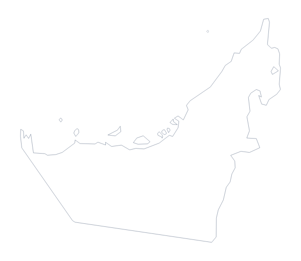
Maps of neighbouring places
Questions people ask
Is there a political blank map of Bahrain?
Yes: it is the With borders version. It draws the 5 administrative areas with no names, so pupils can write Capital, Central, Muharraq, Northern and Southern in themselves.
Can I make the outline bigger without it going blurry?
Yes. The SVG and the PDF are vector files, so the lines stay sharp at any size. Open the SVG in Illustrator, Inkscape or Figma and scale it to a poster or a banner.
Which file should I use in a worksheet, a slide or a design?
Use the PNG for a worksheet or a slide, because its background is transparent. Use the SVG for design work and the PDF to print the outline on A4 or Letter.
How do I add names, a title or my own colours?
These blank files have none. Choose Customise this map to open the outline in the editor, where you can show names, colour the 5 areas, add a title on the Canvas tab and download again.