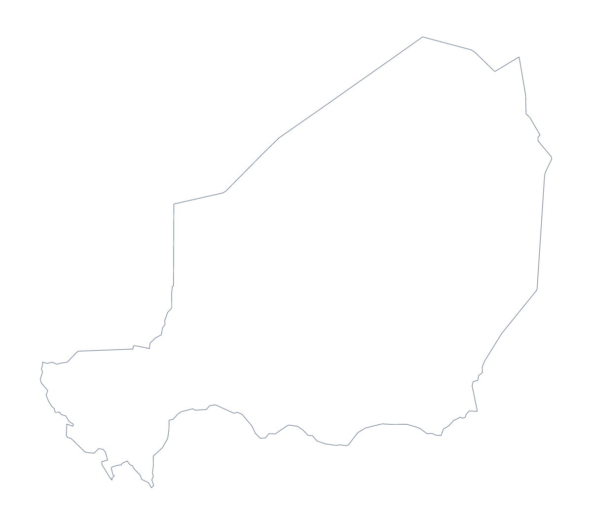
Blank map of Niger
The outline, free as a PNG, SVG or PDF. Label it, colour it in or drop it into a slide.
Using a blank map of Niger
Niger's shape is wanted for slides more often than for exercises: a market in Western Africa, a programme overview, a map beside a few figures. This page gives you the outline as a file, in two versions. Outline only is the shape alone; With borders adds Niger's 8 administrative areas. Each comes as a PNG on a transparent background, an SVG and a PDF.
On a slide
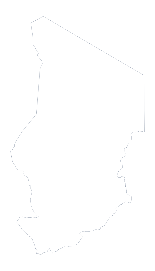
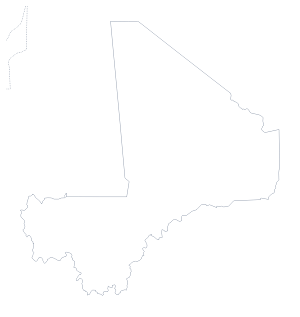
Drop the PNG on a dark slide and only the outline shows, since the background is transparent. Put a heading on one side and three short points on the other. If the slide deals with a region, add the shapes of other countries from their own blank pages, such as the blank map of Mali or the blank map of Chad, and arrange them around Niger.
Notes on the eight areas
With borders is the political blank map of Niger, with its 8 areas drawn in and none named. That is few enough to set a text box beside each one on a briefing page: Agadez, Diffa, Dosso, Maradi, Niamey, Tahoua, Tillabéri and Zinder, with the list further down this page for the spellings. For a cover, colour Outline only and add a note under the title to say it is Niger and not Nigeria.
Design
The SVG opens in Illustrator, Inkscape or Figma. There, the 8 areas are separate shapes, so one can be coloured on its own and the others left pale. Because it is a vector file, it scales to a poster or a report cover without going blurry.
When you need more
Names, colours, a title or pins on the map itself need the editor: Customise this map opens the same outline there. For print choices such as black and white or A4 against Letter, the printable map of Niger has them.
How to do it in MapMaker
- Choose Outline only for the shape of Niger, or With borders for its 8 administrative areas.
- Download the PNG for a slide, the SVG for a design tool or the PDF for your paper size.
- Place the file on a slide or page and add your own headings or labels.
- To mark cities or name the areas on the map, choose Customise this map.
The 8 administrative areas on the map
A key for labelling the map by hand.
- Agadez
- Diffa
- Dosso
- Maradi
- Niamey
- Tahoua
- Tillabéri
- Zinder
Facts about Niger
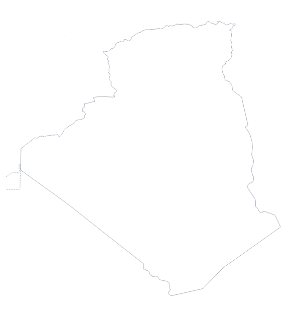
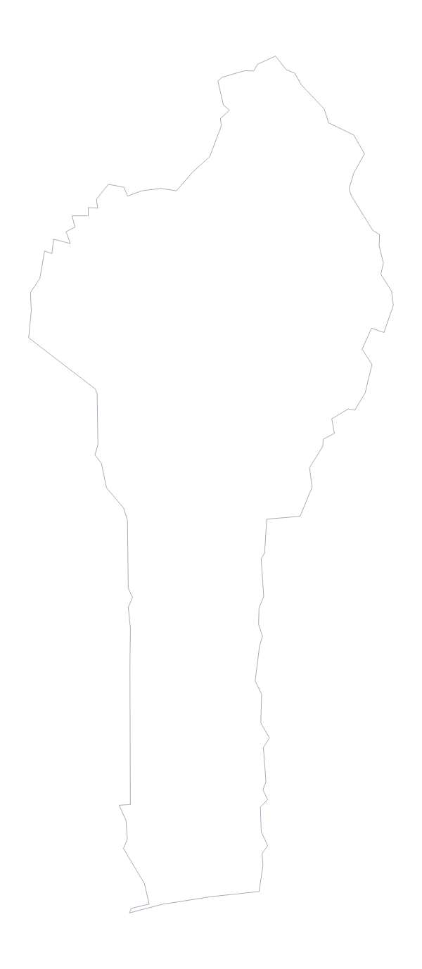
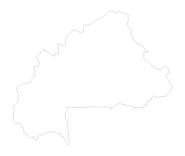
Niger is in Western Africa. The capital is Niamey. The population is about 23 million (2019 estimate). Niger has an area of about 1,190,000 km². The largest cities are Niamey, Zinder, Agadez, Tahoua and Arlit. It borders Algeria, Benin, Burkina Faso, Chad, Libya, Mali and Nigeria. The map divides it into 8 administrative areas.
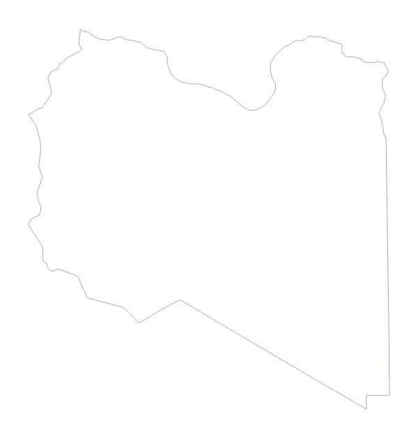
Maps of neighbouring places
Questions people ask
Is this the blank map of Niger or of Nigeria?
It is Niger, the country whose capital is Niamey. Nigeria is a neighbour and has a separate blank map page, so check the heading before you download.
Is there a political blank map of Niger?
Yes: the With borders version. It draws the lines of Niger's 8 administrative areas without names, so they can be labelled by hand from the list further down this page.
Which file should I use in a worksheet, a slide or a design?
Use the PNG for a worksheet or a slide, since its background is transparent. Use the SVG for Illustrator, Inkscape or Figma, or to scale up without blurring. Use the PDF to print on A4 or Letter.
Does the blank map show the names of the areas?
No. A blank map carries no names, which leaves the 8 areas open to label. To show names on the map, choose Customise this map and switch them on in the editor.