Blank map of Nigeria
The outline, free as a PNG, SVG or PDF. Label it, colour it in or drop it into a slide.
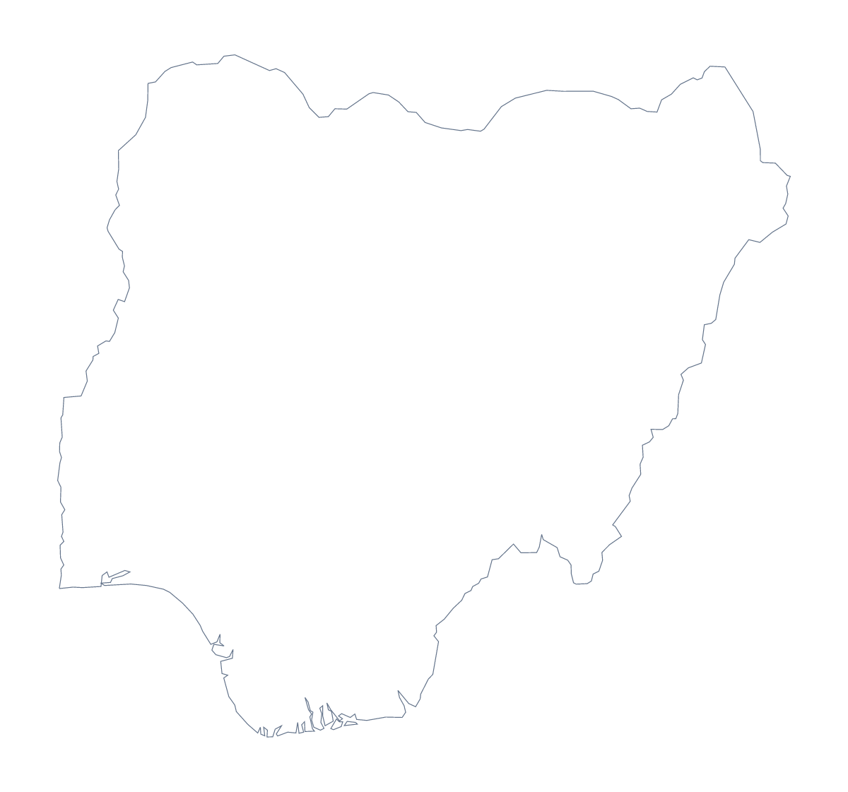
Using a blank map of Nigeria
With 37 administrative areas, Nigeria's blank map rewards a design tool. Most people who download this file are going to colour, group or highlight areas in their own layout, whether for a sales plan, a campaign report or a classroom display. This page offers two versions, Outline only and With borders, each as a PNG on a transparent background, an SVG and a PDF.
Grouping the areas in your own layout
Open the SVG in Illustrator, Inkscape or Figma and the 37 areas are separate shapes. Select a handful, fill them with one colour and you have a territory; repeat for the others and you have a territory map with the colours your client uses. Keep the With borders lines thin, so the territories stand out from the outline.
For a slide, the PNG is simpler. It has a transparent background, so the slide's own colour shows through, and you can draw circles for Lagos, Kano, Ibadan, Abuja and Kaduna on top.
Not all 37 at once
All 37 at once is a lot, so choose a few. With borders is the political blank map of Nigeria: number ten areas in your layout and write a short note for each beside the map, with the list further down this page for the spellings.
Outline only
Use Outline only for a silhouette, a cover design or a stencil, where inner lines add noise. Younger pupils can colour it freely. Take the PDF when you want an A4 or Letter sheet; for print choices see the printable map of Nigeria.
More than a shape
For names, colours or pins on the map, choose Customise this map and the same outline opens in the editor.
How to do it in MapMaker
- Choose With borders to show the 37 administrative areas, or Outline only for the shape of Nigeria alone.
- Download the SVG to group and colour areas in a design tool, or the PNG for a slide.
- Number or circle the areas you want in your layout and keep the list on this page as your key.
- For names or colours on the map itself, choose Customise this map.
The 37 administrative areas on the map
A key for labelling the map by hand.
- Abia State
- Adamawa State
- Akwa Ibom State
- Anambra State
- Bauchi State
- Bayelsa State
- Benue State
- Borno State
- Cross River State
- Delta State
- Ebonyi State
- Edo State
- Ekiti State
- Enugu State
- Federal Capital Territory
- Gombe State
- Imo State
- Jigawa State
- Kaduna State
- Kano State
- Katsina State
- Kebbi State
- Kogi State
- Kwara State
- Lagos
- Nasarawa State
- Niger State
- Ogun State
- Ondo State
- Osun State
- Oyo State
- Plateau State
- Rivers State
- Sokoto State
- Taraba State
- Yobe State
- Zamfara State
Facts about Nigeria
Nigeria is in Western Africa. The capital is Abuja. The population is about 200 million (2019 estimate). Nigeria has an area of about 911,000 km². The largest cities are Lagos, Kano, Ibadan, Abuja and Kaduna. It borders Benin, Cameroon, Chad and Niger. The map divides it into 37 administrative areas.
Maps of neighbouring places
Questions people ask
How many areas does the blank map of Nigeria show?
The With borders version draws 37 administrative areas, including the Federal Capital Territory, with no names on them. The list further down this page names them all, so it works as an answer key.
Is there a political blank map of Nigeria?
Yes. It is the With borders version, which draws all 37 administrative areas. For a lighter sheet, Outline only gives you the shape of the country with no inner lines.
Can I open the SVG in Illustrator, Inkscape or Figma?
Yes. Each area is a separate shape in the SVG, so you can colour territories, change line weight or pull one area out. The file scales without blurring, which matters with this many shapes.
Is this the blank map of Nigeria or of Niger?
This page is Nigeria. Niger is a neighbouring country with its own blank map page.