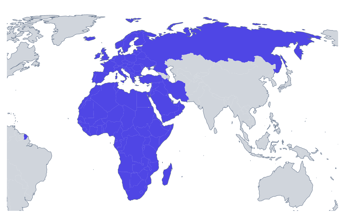
Blank map of EMEA
The outline, free as a PNG, SVG or PDF. Label it, colour it in or drop it into a slide.
Using a blank map of EMEA
The outline of EMEA is wanted by people who already know which countries they mean and need a plain shape to build on: a slide that opens a regional review, the cover of an annual plan, an infographic for a partner event, a banner for an intranet page. The page has Outline only for the region as one shape and With borders for its 116 countries, each as a PNG with a transparent background, an SVG or a PDF.
In slides and covers
Drop the transparent PNG onto a dark title slide and the shape of the region takes the slide's colour. Placed small in a corner of every slide, it tells an audience which region the figures belong to. For a report cover, the Outline only PNG makes a quiet graphic behind the title; because it has no inner lines, it does not compete with the text.
In a design tool
A designer can open the SVG and treat the 116 countries as separate shapes. Fill the countries of one team in a brand colour, leave the others pale, add a thin white border for a modern look or delete the borders you do not need. The same file scales up to a poster or down to a favicon without blurring.
A briefing pack
A sales director preparing a kickoff pack can place the With borders PNG at the top of the first page and shade, in a drawing tool, the countries each manager will cover, one colour per manager. Every shape is unnamed, so the colours do the talking and a short key beneath names the managers. The list further down the page gives the spelling of each country for the notes.
Choosing a version
With borders is the political blank map of EMEA, the one to take whenever countries need to be told apart. Outline only suits a backdrop, an icon or a watermark. For names, fills or a title on the map, choose Customise this map; for colouring countries by region and showing a legend, the editable map of EMEA is the page. The PDF prints as it is on A4 or Letter.
How to do it in MapMaker
- Choose With borders for the 116 countries, or Outline only for the shape of the whole region.
- Take the PNG for a slide or a banner, or the SVG for Illustrator, Inkscape or Figma.
- Use PDF, A4 or PDF, Letter if the sheet is going straight to a printer.
- Choose Customise this map to add names, fills or a title, then download from the editor.
The 116 members on the map
A key for labelling the map by hand.
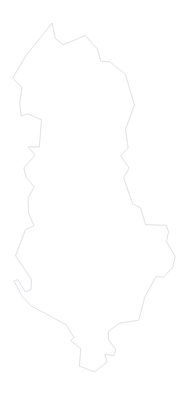
- Albania
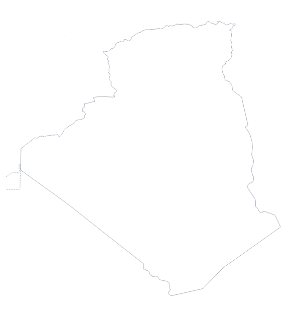
- Algeria
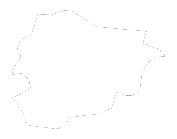
- Andorra
- Angola
- Austria
- Bahrain
- Belarus
- Belgium
- Benin
- Bosnia and Herzegovina
- Botswana
- Bulgaria
- Burkina Faso
- Burundi
- Cabo Verde
- Cameroon
- Central African Republic
- Chad
- Comoros
- Congo
- Côte d'Ivoire
- Croatia
- Cyprus
- Czechia
- Democratic Republic of the Congo
- Denmark
- Djibouti
- Egypt
- Equatorial Guinea
- Eritrea
- Estonia
- Eswatini
- Ethiopia
- Finland
- France
- Gabon
- Gambia
- Germany
- Ghana
- Greece
- Guinea
- Guinea-Bissau
- Hungary
- Iceland
- Iran
- Iraq
- Ireland
- Israel
- Italy
- Jordan
- Kenya
- Kosovo
- Kuwait
- Latvia
- Lebanon
- Lesotho
- Liberia
- Libya
- Liechtenstein
- Lithuania
- Luxembourg
- Madagascar
- Malawi
- Mali
- Malta
- Mauritania
- Mauritius
- Moldova
- Monaco
- Montenegro
- Morocco
- Mozambique
- Namibia
- Netherlands
- Niger
- Nigeria
- North Macedonia
- Norway
- Oman
- Palestine
- Poland
- Portugal
- Qatar
- Romania
- Russia
- Rwanda
- San Marino
- Sao Tome and Principe
- Saudi Arabia
- Senegal
- Serbia
- Seychelles
- Sierra Leone
- Slovakia
- Slovenia
- Somalia
- Somaliland
- South Africa
- South Sudan
- Spain
- Sudan
- Sweden
- Switzerland
- Syria
- Tanzania
- Togo
- Tunisia
- Turkey
- Uganda
- Ukraine
- United Arab Emirates
- United Kingdom
- Western Sahara
- Yemen
- Zambia
- Zimbabwe
Facts about EMEA
116 members are on the map.
Maps of places in EMEA
Questions people ask
Is there a political blank map of EMEA?
Yes: the With borders version. It draws the borders between the 116 countries on the map and puts no names on them, so each country is a separate shape to fill, restyle or label in your own file.
What is the difference between Outline only and With borders?
Outline only is the land of the region without the lines between countries, which reads as a single shape. With borders adds the lines, so each of the 116 countries can be coloured or removed on its own.
Can I open the SVG in Illustrator, Inkscape or Figma?
Yes. The SVG is a vector file, so the outline and every border stay sharp at any size, and you can select a country and recolour it. That makes it the file to use for an infographic with a territory split.
Does the PNG have a transparent background?
Yes. Only the land is drawn, so the outline sits directly on the colour of a slide, a report cover or a banner, with no white box around it.