Blank map of Lithuania
The outline, free as a PNG, SVG or PDF. Label it, colour it in or drop it into a slide.
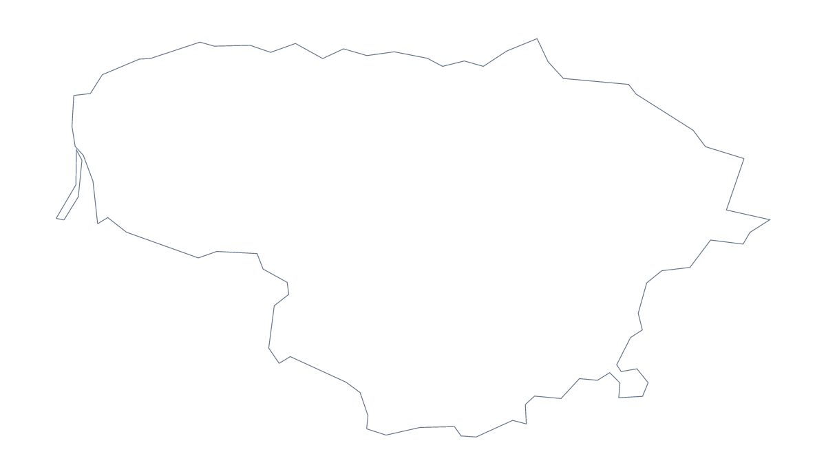
Using a blank map of Lithuania
Lithuania makes a good outline for a slide that needs a location and a few figures, and for a worksheet that needs a map pupils can fill in. Outline only is the country with nothing inside it, and With borders draws its 10 administrative areas. Each version is a PNG on a transparent background, an SVG or a PDF for A4 or Letter.
On a slide
Because the PNG is transparent, it takes the colour of the slide. Put Lithuania on the left and three figures on the right for a market slide, then mark Vilnius, Kaunas and Klaipėda with dots from your slide software. A title slide can use the same file, enlarged, behind the text.
On a worksheet
The With borders PNG gives you 10 shapes for a matching exercise. Arrange name boxes around the map, draw a leader line from each box to an area, and shuffle the names for pupils to sort out. The list further down this page is the answer sheet. A cut-and-stick version prints the names in a column for pupils to attach.
In a design
The SVG opens in Illustrator, Inkscape or Figma. Set a heavier line for the outline, a lighter one for the inner areas, and recolour them in your brand palette for a report cover or a poster.
Which version
The political blank map of Lithuania is the With borders version. Choose Outline only for a silhouette. For names, pins or colours, Customise this map opens the same outline in the editor, and the printable map of Lithuania has the print choices.
How to do it in MapMaker
- Choose With borders for the 10 administrative areas, or Outline only for the plain shape of Lithuania.
- Download the PNG for a slide or worksheet, or the SVG for a design tool.
- Place the file on your page and resize it from a corner.
- Lay out name boxes around the map for a matching exercise, and check answers against the list further down.
The 10 administrative areas on the map
A key for labelling the map by hand.
- Alytus
- Kaunas
- Klaipėda
- Marijampolė
- Panevėžys
- Šiauliai
- Tauragė
- Telšiai
- Utena
- Vilnius
Facts about Lithuania
Lithuania is in Northern Europe. The capital is Vilnius. The population is about 2.8 million (2019 estimate). Lithuania has an area of about 64,600 km². The largest cities are Vilnius, Kaunas, Klaipėda, Šiauliai and Panevežys. It borders Belarus, Latvia, Poland and Russia. The map divides it into 10 administrative areas.
Maps of neighbouring places
Questions people ask
How many areas does the blank map of Lithuania show?
The With borders version draws 10 administrative areas, from Alytus to Vilnius, with no names. Outline only is the country as one shape.
Which file should I use in a worksheet, a slide or a design?
The PNG goes into worksheets and slides and takes the colour behind it. The SVG is for design tools and for enlarging. A PDF puts the outline straight onto A4 or Letter.
Is there a political blank map of Lithuania?
Yes, the With borders version: the 10 administrative areas drawn in, with no names. Use it for labelling and quizzes.
Can I show the countries around Lithuania?
Not on this page, which draws the outline only. The editable map of Lithuania has a Neighbours switch that draws the surrounding countries in grey.