Blank map of Belarus
The outline, free as a PNG, SVG or PDF. Label it, colour it in or drop it into a slide.
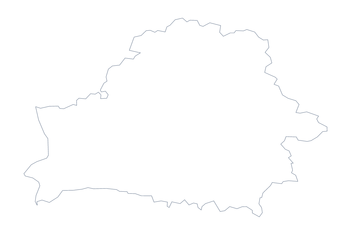
Using a blank map of Belarus
A blank map of Belarus is usually the starting file for something else: a labelling sheet, a slide for a regional comparison, a handout for a topic. This page gives you the shape in two versions. Outline only is the country with nothing inside it, and With borders adds its 7 administrative areas. Both come as a PNG, an SVG or a PDF.
In a slide
Place the transparent PNG on a slide with your own background, and the shape takes its colour. Use With borders when the slide compares areas, and fill each one by hand with the colours from your theme, with a short key beside it. For a cover, the plain outline looks calmer because the inner lines drop away.
For a labelling task
Put the PNG of With borders in your worksheet and add numbered boxes next to four areas, such as Brest, Mahilioŭ, Grodno and Vitebsk. Pupils fill the boxes in, and the list further down this page gives the answers. The same file also works as the centre of a revision poster, with text boxes of notes set around it and a line from each note to its area.
Which version and file
The political blank map of Belarus is the With borders version. Choose PNG for documents and slides, SVG for design tools or large prints, and a PDF for A4 or Letter. The printable map of Belarus has colour and black-and-white choices for paper. If you need the countries around it, names or a title, choose Customise this map and finish in the editor.
How to do it in MapMaker
- Choose With borders for the 7 administrative areas, or Outline only for the shape.
- Pick PNG for a slide or worksheet, SVG for a design tool or PDF, A4 or PDF, Letter.
- Place the file on your page and resize it from a corner.
- Check labels against the list of areas on this page.
- Choose Customise this map if you want neighbours, names or a title.
The 7 administrative areas on the map
A key for labelling the map by hand.
- Brest
- Gomel
- Grodno
- Mahilioŭ
- Minsk
- Minsk
- Vitebsk
Facts about Belarus
Belarus is in Eastern Europe. The capital is Minsk. The population is about 9.5 million (2019 estimate). Belarus has an area of about 207,000 km². The largest cities are Minsk, Homyel, Mahilyow, Vitsyebsk and Hrodna. It borders Latvia, Lithuania, Poland, Russia and Ukraine. The map divides it into 7 administrative areas.
Maps of neighbouring places
Questions people ask
How many areas does the blank map of Belarus show?
The With borders version draws 7 administrative areas. Outline only shows the country as a single shape. Neither version has names, so you add your own labels.
Is there a political blank map of Belarus?
Yes, the With borders version. It has the 7 administrative areas drawn in and no names, ready for labelling in a worksheet, a slide or a design.
Can I open the SVG in Illustrator, Inkscape or Figma?
Yes. The SVG is a vector file, so the outline and area lines stay sharp at any size and can be recoloured, thickened or traced.
Can I show the countries around Belarus?
Not on this page, which holds only the outline. Choose Customise this map to open the editor, where Neighbours draws the surrounding countries in grey.