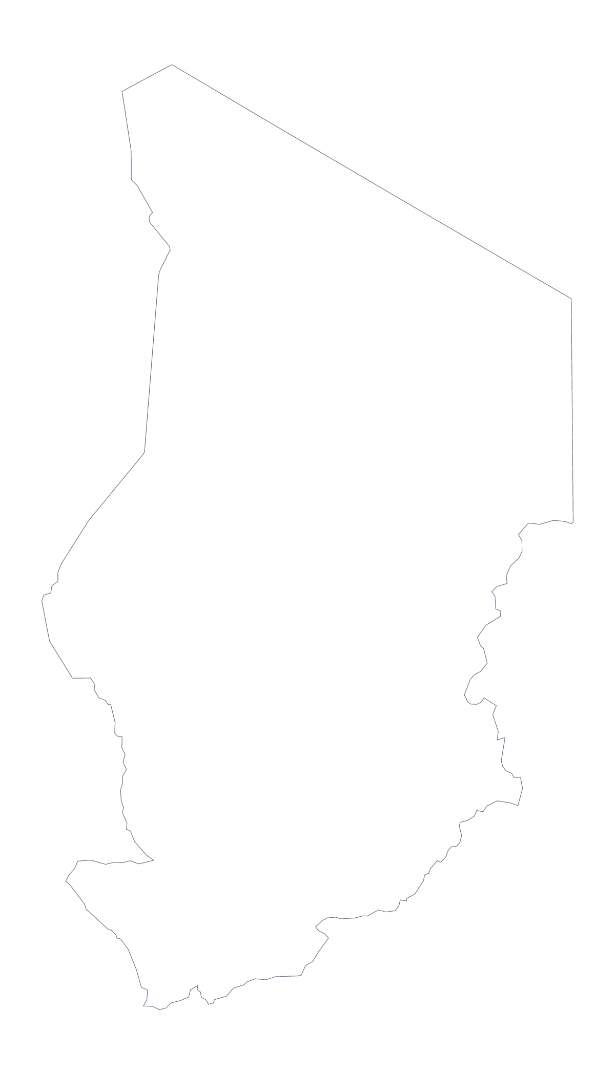
Blank map of Chad
The outline, free as a PNG, SVG or PDF. Label it, colour it in or drop it into a slide.
Using a blank map of Chad
Chad has a large outline, and people use the file in different ways: a poster, a slide, a worksheet or an illustration. Two versions are here: Outline only, and With borders, which draws the 22 administrative areas.
Scale and detail
The big shape is a good one to enlarge. Open the SVG in Illustrator, Inkscape or Figma, scale it to poster size and the lines stay sharp, so each of the 22 areas can be given its own colour, or none. A design team can strip the area lines and keep the silhouette for a report cover; a teacher can keep them and add a legend.
Notes on the areas in a document
Drop the With borders PNG into a word processor and lay a text box over a few areas, such as Tibesti, Borkou, Ennedi, Lac, Kanem and Salamat, each carrying a line of notes or a figure. The list of areas further down this page gives the spellings. Keep each note short so the shapes stay visible beneath the text. Younger children can colour the outline PNG and write Chad across it.
On a slide
The transparent PNG sits on any slide colour. On a dark background, the outline in a light colour gives a tidy frame for three bullet points beside it; the map for PowerPoint page has more on using maps in decks.
Choosing
PNG for slides and documents, SVG for design and large formats, PDF for A4 or Letter. If you need the country coloured by figures, try the choropleth map of Chad.
How to do it in MapMaker
- Choose With borders for the 22 administrative areas, or Outline only for the shape alone.
- Pick the SVG for scaling up, the PNG for a slide or a worksheet, or a PDF for A4 or Letter.
- Place the file in your document and lay a text box over each area you want to note.
- Spell the area names from the list further down this page.
- For printed names or a title on the map itself, choose Customise this map.
The 22 administrative areas on the map
A key for labelling the map by hand.
- Bahr el Gazel
- Batha
- Borkou
- Chari-Baguirmi
- Ennedi
- Guéra
- Hadjer-Lamis
- Kanem
- Lac
- Logone Occidental
- Logone Oriental
- Mandoul
- Mayo-Kebbi Est
- Mayo-Kebbi Ouest
- Moyen-Chari
- N'Djamena
- Ouaddaï
- Salamat
- Sila
- Tandjilé
- Tibesti
- Wadi Fira
Facts about Chad
Chad is in Middle Africa. The capital is N'Djamena. The population is about 16 million (2019 estimate). Chad has an area of about 1,270,000 km². The largest cities are N'Djamena, Bongor, Sarh, Abéché and Moundou. It borders Cameroon, Central African Republic, Libya, Niger, Nigeria and Sudan. The map divides it into 22 administrative areas.
Maps of neighbouring places
Questions people ask
What is the difference between Outline only and With borders?
Outline only is the shape of Chad with nothing inside it. With borders adds the lines of its 22 administrative areas. Neither has any names, so labels are yours to add.
Is there a political blank map of Chad?
Yes. It is the With borders version: all 22 administrative areas drawn and none named. Use the list of areas on this page as the key when you label it.
Can I make the outline bigger without it going blurry?
Yes. Use the SVG, which is a vector file and can be scaled to any size. The PNG is for slides and worksheets at normal size, and the PDF is for A4 or Letter.
How do I add names or a title?
The files on this page carry no text. Choose Customise this map to open the outline in the editor, where you can show names, add a title on the Canvas tab and download a new file.