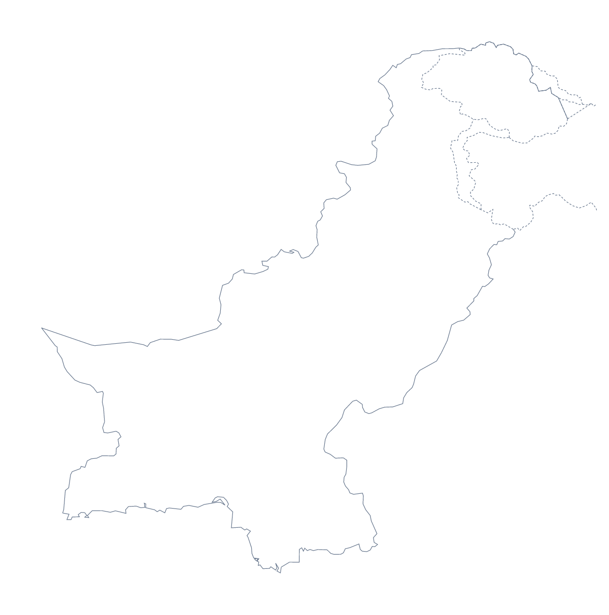
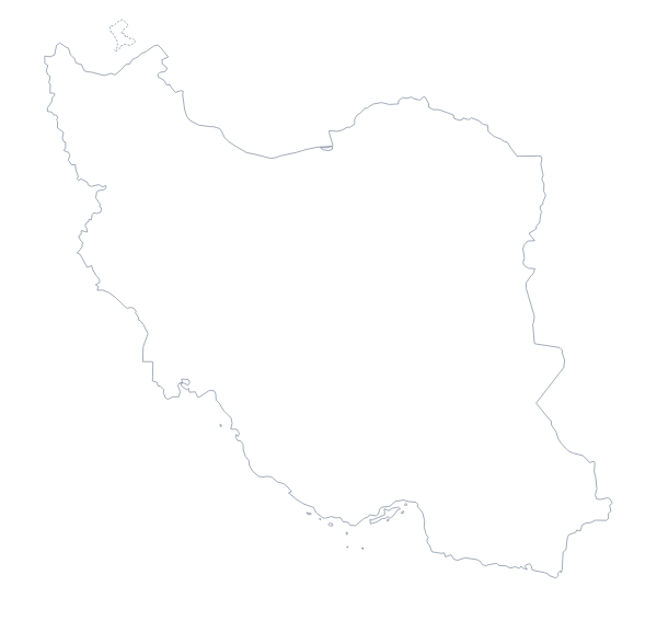
Blank map of Pakistan
The outline, free as a PNG, SVG or PDF. Label it, colour it in or drop it into a slide.
Using a blank map of Pakistan
People who need a blank map of Pakistan usually have their own document waiting for it: a worksheet in a word processor, a slide for a talk, a report cover or a poster. This page gives you the shape as a file in two versions, Outline only and With borders, which draws the lines between the administrative areas. Each version comes as a PNG, an SVG and a PDF.
In a worksheet or a quiz
Paste the PNG of With borders into a worksheet of your own and write a number inside each area you want pupils to find, such as Punjab, Sindh and Balochistan. Pupils write the names beside the numbers, and the list of administrative areas further down this page is your answer sheet.
For a lesson starter, put Outline only on the first slide without a title and ask the class which country it is. The reveal on the next slide can show the same outline with its name and a pin for Islamabad, added in the editor.
Slides, covers and designs
On a slide about a market or a project in Pakistan, the transparent PNG lets the outline sit on the theme colour, with a few figures or a heading beside it. In Illustrator, Inkscape or Figma, the SVG can take a heavier line and a fill in your brand colour for a report cover, or be traced as the base of an infographic. A teacher making a set of revision cards can put Outline only in the same corner of every card, at the same size, so the set reads as one series.
Which version, which file
With borders shows the inner lines between the areas; take it for labelling, quizzes and anything about the areas themselves. Outline only is the plain shape for a cover, a logo sketch or a slide where the inner lines would distract. The PNG suits documents and slides, the SVG design tools and any size without blurring, and the PDF a print on A4 or Letter. For names, a title or colours, choose Customise this map; for black-and-white copies to hand out, the printable map of Pakistan has them ready.
How to do it in MapMaker
- Pick With borders for the administrative areas, or Outline only for the plain shape of Pakistan.
- Download the PNG for your worksheet or slide, or the SVG to restyle it in a design tool.
- Number the areas you want pupils to name and keep the list on this page as the answers.
- Choose Customise this map for names, colours or a title, and download the result from the editor.
The 8 administrative areas on the map
A key for labelling the map by hand.
- Azad Kashmir
- Balochistan
- Federally Administered Tribal Areas
- Gilgit-Baltistan
- Islamabad Capital Territory
- Khyber Pakhtunkhwa
- Punjab
- Sindh
Facts about Pakistan
Pakistan is in Southern Asia. The capital is Islamabad. The population is about 220 million (2019 estimate). The largest cities are Karachi, Lahore, Faisalabad, Saidu and Rawalpindi. It borders Afghanistan, China, India and Iran. The map divides it into 8 administrative areas.
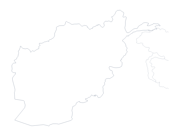
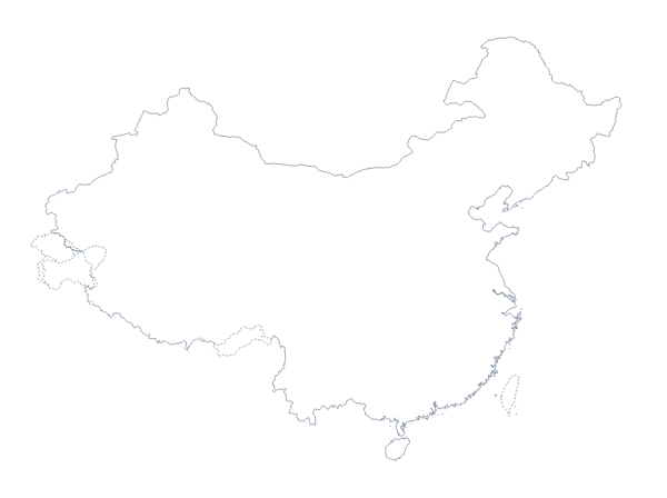
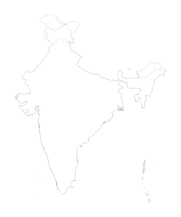
Maps of neighbouring places
Questions people ask
What is the difference between Outline only and With borders?
Outline only is the shape of Pakistan with no lines inside it. With borders adds the lines between its administrative areas, such as Punjab and Sindh, for labelling and colouring. Neither version has any names on it.
Does the PNG have a transparent background?
Yes. Only the outline is drawn, so the PNG of Pakistan takes the colour of the slide, worksheet box or poster you place it on, with no white rectangle around it.
Which file should I use in a worksheet, a slide or a design?
Use the PNG in a worksheet or a slide, the SVG in Illustrator, Inkscape or Figma, and a PDF when you want the outline of Pakistan printed on A4 or Letter as it stands.