Blank map of Romania
The outline, free as a PNG, SVG or PDF. Label it, colour it in or drop it into a slide.
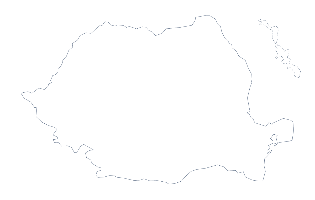
Using a blank map of Romania
People ask for a blank map of Romania when they are building something of their own: a worksheet with areas to name, a slide that needs the shape on a coloured background, a poster. This page hands over the shape as a file. Outline only is Romania with nothing inside it; With borders adds its 42 administrative areas. Each version comes as a PNG, an SVG or a PDF.
A numbered quiz
Place the PNG of With borders in your worksheet, write the numbers 1 to 10 on ten areas and leave a column of boxes beside the map. The list of areas further down this page is the answer sheet. A gentler version for younger pupils uses Outline only: they colour the shape in and give the page a title in their own handwriting.
A slide or a design
On a slide, the transparent background of the PNG takes the colour behind it, so only the shape of Romania shows. Project and sales slides often shade a few areas on top of it in the deck's own palette. The SVG opens in Illustrator, Inkscape or Figma and scales up without blurring, which suits a poster or a report cover; there you can thicken the area lines or delete them.
Which version
The political blank map of Romania is the With borders version: the area lines with no names. Take Outline only for a silhouette. The PDF comes on A4 or Letter and prints at 100%; for colour and ink choices before printing, see the printable map of Romania. When you need names, colours or a title, choose Customise this map and finish in the editor.
How to do it in MapMaker
- Choose With borders for the 42 administrative areas, or Outline only for the plain shape.
- Download the PNG for a worksheet or slide, the SVG for a design tool or a PDF for A4 or Letter.
- Place the file in your document and number the areas you want pupils to name.
- Choose Customise this map when you need names, colours or a title, and download from the editor.
The 42 administrative areas on the map
A key for labelling the map by hand.
- Alba
- Arad
- Argeș
- Bacău
- Bihor
- Bistrița-Năsăud
- Botoșani
- Brăila
- Brașov
- Bucharest
- Buzău
- Călărași
- Caraș-Severin
- Cluj
- Constanța
- Covasna
- Dâmbovița
- Dolj
- Galați
- Giurgiu
- Gorj
- Harghita
- Hunedoara
- Ialomița
- Iași
- Ilfov
- Maramureș
- Mehedinți
- Mureș
- Neamț
- Olt
- Prahova
- Sălaj
- Satu Mare
- Sibiu
- Suceava
- Teleorman
- Timiș
- Tulcea
- Vâlcea
- Vaslui
- Vrancea
Facts about Romania
Romania is in Eastern Europe. The capital is Bucharest. The population is about 19 million (2019 estimate). Romania has an area of about 236,000 km². The largest cities are Bucharest, Iași, Cluj-Napoca, Timișoara and Galați. It borders Bulgaria, Hungary, Moldova, Serbia and Ukraine. The map divides it into 42 administrative areas.
Maps of neighbouring places
Questions people ask
Is there a political blank map of Romania?
Yes. It is the With borders version, which draws the 42 administrative areas as separate shapes with no names. Outline only is the same shape of Romania with nothing inside it.
Is there an answer key for a labelling quiz?
Yes. The list of administrative areas further down this page names all 42 that With borders draws. Number a few areas in your worksheet and mark the answers against that list.
Does the PNG have a transparent background?
Yes. Everything around Romania is see-through, so the shape takes the colour of the slide, worksheet box or poster you place it on.
Can I show the countries around Romania?
Not on this page, which offers the outline only. On the editable map of Romania, switch on Neighbours to draw Hungary, Serbia, Bulgaria, Moldova and Ukraine around it.