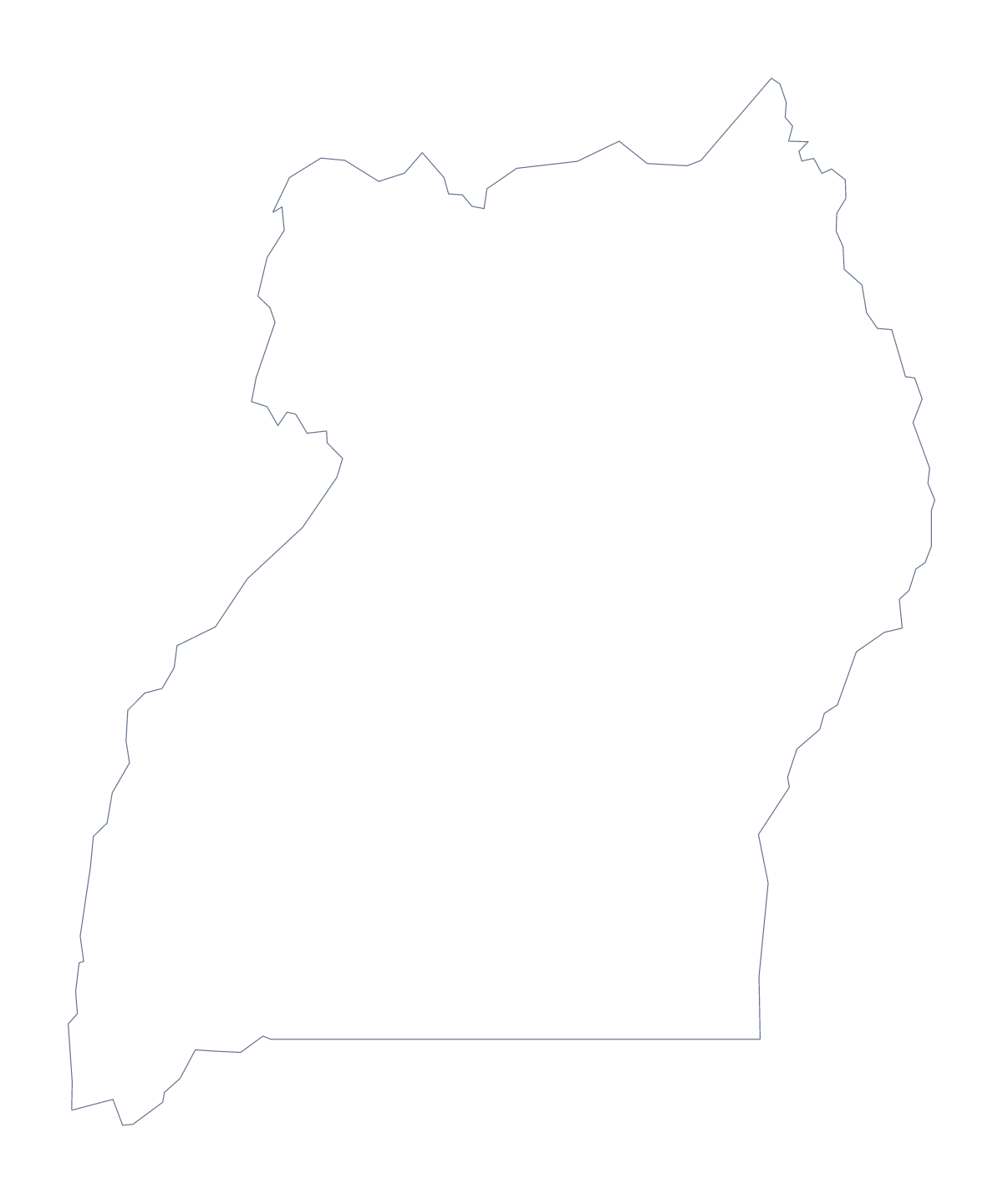
Blank map of Uganda
The outline, free as a PNG, SVG or PDF. Label it, colour it in or drop it into a slide.
Using a blank map of Uganda
Uganda's blank map comes in two forms with very different densities. Outline only is the country as one clean shape, and With borders is the same shape with 112 administrative areas drawn inside it, none named. Each comes as a PNG, an SVG and a PDF, so choose by what the sheet or slide needs to say.
The outline: simple and flexible
Use Outline only for a cover, a title slide or a children's colouring sheet. On a slide it makes a calm shape with room for a headline, and the transparent PNG takes the slide's colour. Add a caption under it in your own typeface. Younger pupils can colour the shape and write the name of the country across it.
The borders version: for careful work
With 112 areas, the With borders map is for the reader who needs to point at one. Number five of them, perhaps Gulu, Hoima, Kabale, Mbale and Soroti, with a box beside each for a note. Do not number more; the shapes are small, and a short list keeps the page readable. The list further down gives the spellings.
In a design tool, the SVG is better still: zoom in and each area is a separate shape, so a single area can take a bold fill while the rest stay a pale tint.
Which file
The political blank map of Uganda is With borders. Take the PNG for worksheets and slides, the SVG for design work and for any size above a slide, and a PDF for A4 or Letter. For print choices go to the printable map of Uganda; for names, pins or colours, Customise this map opens the outline in the editor.
How to do it in MapMaker
- Choose With borders for the 112 areas, or Outline only for the plain shape of Uganda.
- Download the PNG for a worksheet or slide, the SVG for a design tool or a PDF for A4 or Letter.
- Place the file on your page and resize it from a corner to keep the proportions.
- Number a few areas to describe and spell them from the list further down.
- Choose Customise this map for names, pins or a title.
The 112 administrative areas on the map
A key for labelling the map by hand.
- Abim
- Adjumani
- Agago
- Alebtong
- Amolatar
- Amudat
- Amuria
- Amuru
- Apac
- Arua
- Budaka
- Bududa
- Bugiri
- Buhweju
- Buikwe
- Bukedea
- Bukomansimbi
- Bukwo
- Bulambuli
- Buliisa
- Bundibugyo
- Bushenyi
- Busia
- Butaleja
- Butambala
- Buvuma
- Buyende
- Dokolo
- Gomba
- Gulu
- Hoima
- Ibanda
- Iganga
- Isingiro
- Jinja
- Kaabong
- Kabale
- Kabarole
- Kaberamaido
- Kalangala
- Kaliro
- Kalungu
- Kampala
- Kamuli
- Kamwenge
- Kanungu
- Kapchorwa
- Kasese
- Katakwi
- Kayunga
- Kibaale
- Kiboga
- Kibuku
- Kiryandongo
- Kisoro
- Kitgum
- Koboko
- Kole
- Kotido
- Kumi
- Kween
- Kyankwanzi
- Kyegegwa
- Kyenjojo
- Lamwo
- Lira
- Luuka
- Luwero
- Lwengo
- Lyantonde
- Manafwa
- Maracha
- Masaka
- Masindi
- Mayuge
- Mbale
- Mbarara
- Mbarara
- Mitooma
- Mityana
- Moroto
- Moyo
- Mpigi
- Mubende
- Mukono
- Nakapiripirit
- Nakaseke
- Nakasongola
- Namayingo
- Namutumba
- Napak
- Nebbi
- Ngora
- Ntoroko
- Ntungamo
- Nwoya
- Otuke
- Oyam
- Pader
- Pallisa
- Rakai
- Rubirizi
- Rukungiri
- Sembabule
- Serere
- Sheema
- Sironko
- Soroti
- Tororo
- Wakiso
- Yumbe
- Zombo
Facts about Uganda
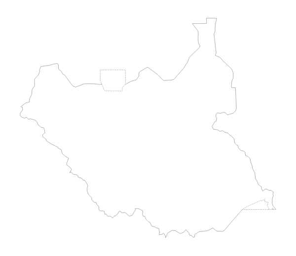
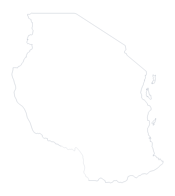
Uganda is in Eastern Africa. The capital is Kampala. The population is about 44 million (2019 estimate). Uganda has an area of about 243,000 km². The largest cities are Kampala, Mbale, Jinja, Arua and Entebbe. It borders Democratic Republic of the Congo, Kenya, Rwanda, South Sudan and Tanzania. The map divides it into 112 administrative areas.
Maps of neighbouring places
Questions people ask
What is the difference between Outline only and With borders?
Outline only is the shape of Uganda with nothing inside it. With borders adds the lines of all 112 administrative areas, which makes it the political blank map. Neither version has names.
How many administrative areas does the blank map show?
The With borders version shows all 112, each as a separate shape. The list further down this page names them, so it serves as the key for labelling the few you choose.
Can I make the outline bigger without it going blurry?
Yes. Use the SVG or the PDF, both vector files, and the outline of Uganda and its area lines stay sharp at any size, which matters when 112 areas are drawn close together.
Does the PNG have a transparent background?
Yes. Everything around Uganda is see-through, so the shape sits on whatever colour is behind it, whether a slide, a page or a poster.