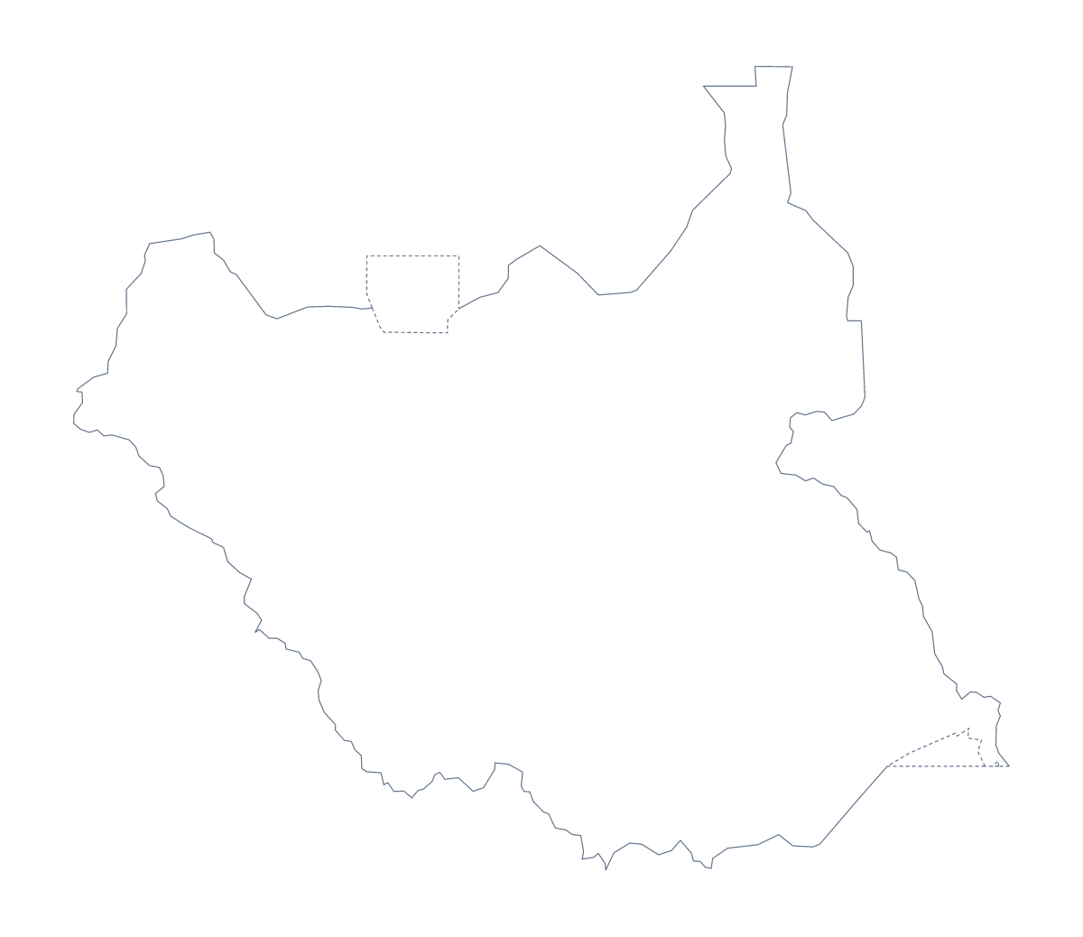
Blank map of South Sudan
The outline, free as a PNG, SVG or PDF. Label it, colour it in or drop it into a slide.
Using a blank map of South Sudan
Three files cover most of what people do with a blank map of South Sudan, and each suits a different tool. Every one comes in two versions: Outline only, the country as one shape, and With borders, which draws its 10 administrative areas with no names on them.
The PNG, for pages and slides
The PNG has a transparent background, so it drops into a worksheet or a slide and takes whatever colour is behind it. A teacher can place it in a word processor and write a note beside four areas, say Jonglei, Lakes, Unity and Warrap, for a handout. A presenter can set it on a dark slide and write three bullet points to its right.
The SVG, for design work
Open the SVG in Illustrator, Inkscape or Figma and each area is a shape you can fill, thicken or move. Use it for a report cover with Upper Nile in a single strong colour, or a poster with the shape of South Sudan traced and restyled. It scales to any size without blurring.
The PDF, for a quick copy
The PDF opens on A4 or Letter, ready to print at 100%. For black and white or a class set, the printable map of South Sudan is the page to use, and it has more on paper choices.
Which outline to take
The political blank map of South Sudan is With borders, and it suits labelling and quizzes, with the list of areas further down as the answer key. Outline only suits a silhouette, a title slide or younger children. If the map needs names, colours or a title, Customise this map opens the outline in the editor.
How to do it in MapMaker
- Choose With borders for the 10 areas, or Outline only for the plain shape.
- Download the PNG for a page or slide, the SVG for a design tool or PDF, A4 or PDF, Letter.
- Place the file in your document and resize it from a corner.
- Add a note beside each area you want to describe and spell it from the list below.
- Choose Customise this map when you need names, colours or a title.
The 10 administrative areas on the map
A key for labelling the map by hand.
- Central Equatoria
- Eastern Equatoria
- Jonglei
- Lakes
- Northern Bahr el Ghazal
- Unity
- Upper Nile
- Warrap
- Western Bahr el Ghazal
- Western Equatoria
Facts about South Sudan
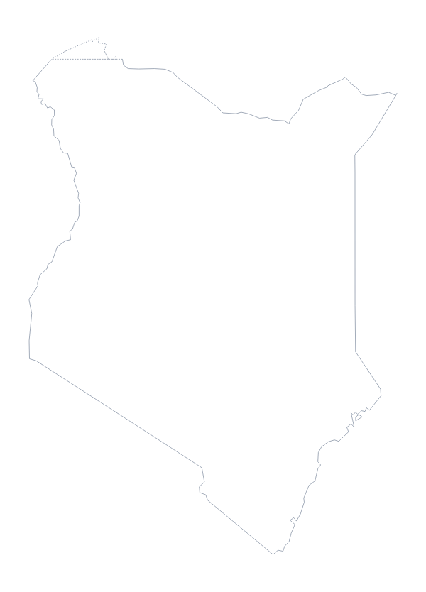
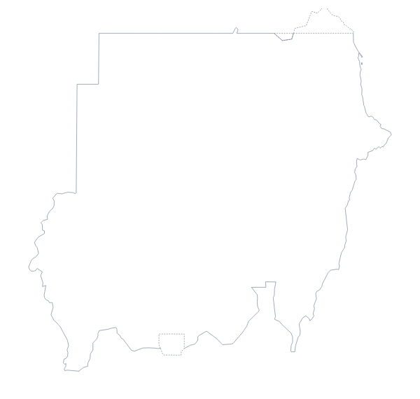
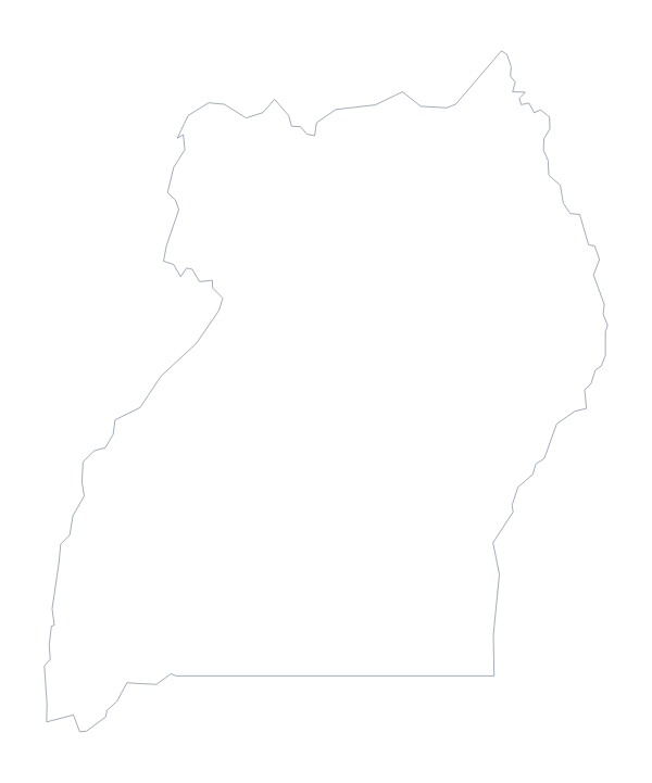
South Sudan is in Eastern Africa. The capital is Juba. The population is about 11 million (2019 estimate). South Sudan has an area of about 630,000 km². The largest cities are Yei, Malakal, Wau, Juba and Gogrial. It borders Central African Republic, Democratic Republic of the Congo, Ethiopia, Kenya, Sudan and Uganda. The map divides it into 10 administrative areas.
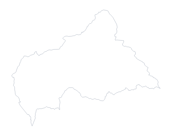
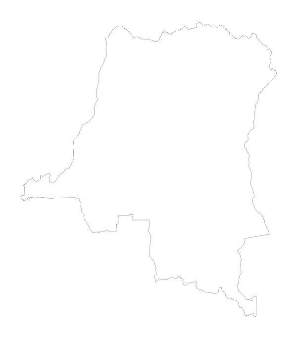
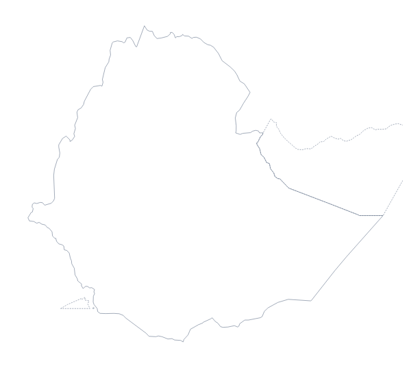
Maps of neighbouring places
Questions people ask
Is there a political blank map of South Sudan?
Yes. It is the With borders version, which draws the 10 administrative areas with no names. Pupils or readers can label each one from the list further down this page.
Does the PNG have a transparent background?
Yes. Everything outside the shape of South Sudan is see-through, so the map takes the colour of the slide or page behind it and no white box appears.
Can I make the outline bigger without it going blurry?
Yes, with the SVG or the PDF. Both are vector files, so the lines of South Sudan stay sharp at poster size. The PNG is for worksheets and slides at ordinary size.
How many administrative areas does the blank map show?
The With borders version shows all 10, each as a separate shape with no name. Outline only is the country as a single shape with no lines inside it.