Printable map of the US and Canada
Free PDFs, ready for A4 or Letter. Print in colour or black and white.
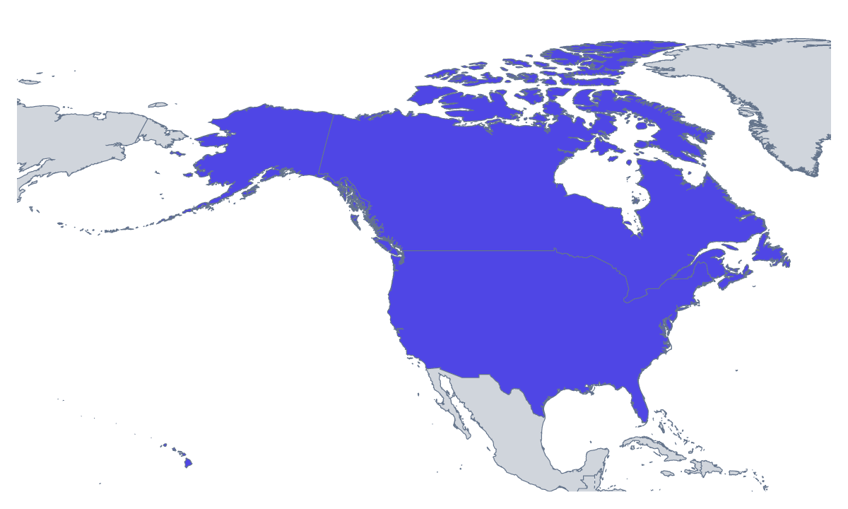
Printing a map of the US and Canada
This is a two-country sheet, which makes it the starting point for a lesson, not the whole of one. Teachers use it to introduce the neighbours before turning to the states and provinces; parents print it for a road-trip map or a homework page. There are two versions: With country borders, which separates Canada from the United States of America, and a Blank outline of the land. Both are PDFs with no names.
Beginning with two shapes
For the youngest pupils, two countries is a good first labelling task: write each name inside its shape, then colour them different colours. Check against the list further down this page. Older pupils can use the same sheet as the base for a bigger piece of work, adding a compass rose, a scale bar they draw by hand and a title of their own.
Building up from here
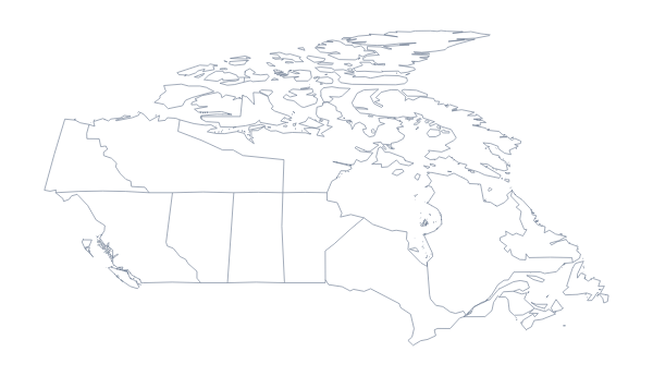
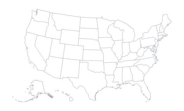
The sheet works best next to the others. Print the printable map of US states and the printable map of Canadian provinces, and let pupils see how the same land breaks down. A road-trip plan on this sheet can mark the cities the family will visit with dots and a numbered route in pencil.
Version and ink
Choose With country borders for any task that needs the two countries told apart. The Blank outline suits pupils who draw the line themselves or use the sheet as a canvas for a drawing. Colour makes a good single sheet for a wall; black and white is cheaper for a class set. To shade a country first, use the bar on the map and Download your map. For names, a title or an A3 sheet, choose Customise before printing.
How to do it in MapMaker
- Pick A4 or Letter, then Colour or Black and white.
- Choose With country borders to separate the two countries, or Blank outline for the land alone.
- Print the PDF at 100% so the countries keep their proportions.
- To colour a country first, pick a colour in the bar on the map, click it and choose Download your map.
- Choose Customise before printing for names, a title or an A3 sheet.
The 2 members on the map
A key for labelling the map by hand.
- Canada
- United States of America
Facts about the US and Canada
2 members are on the map. The members are Canada and United States of America.
Maps of places in the US and Canada
Questions people ask
Which countries are on the printable map of the US and Canada?
Two: Canada and the United States of America. The list further down this page names both, so it doubles as an answer key for a labelling sheet.
Does this printable map show states and provinces?
No, it shows the two countries whole. For a sheet with the states, print the printable map of US states, and for a sheet with the provinces, the printable map of Canadian provinces.
What is the difference between the blank outline and the version with country borders?
The blank outline shows the land as one shape. With country borders adds the line between the two countries, so each has a shape of its own to name or colour. Neither prints any names.
Is the printable map free?
Yes. Both versions are free to download and print on A4 or Letter, in colour or black and white, with no sign-up.