Blank map of the US and Canada
The outline, free as a PNG, SVG or PDF. Label it, colour it in or drop it into a slide.
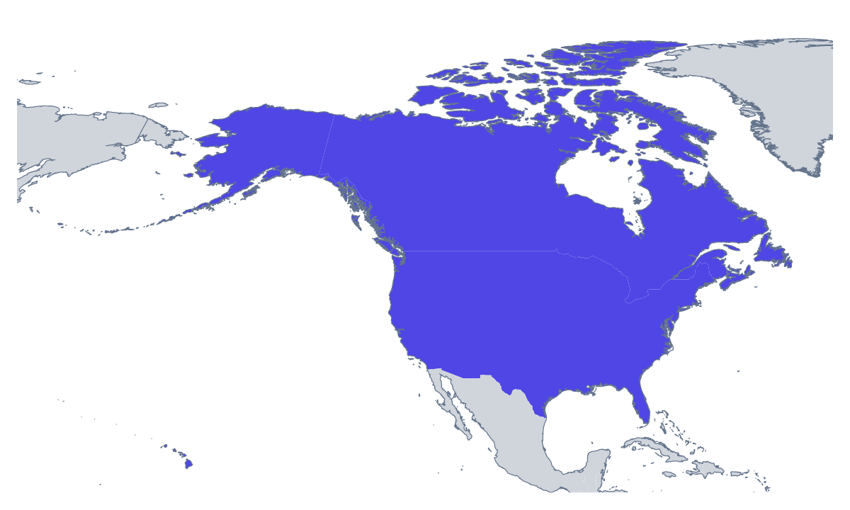
Using a blank map of the US and Canada
Two big shapes make a good backdrop. A blank map of the US and Canada fits a regional sales slide, a cross-border report cover, a newsletter masthead or a poster for an event that spans both countries. Take Outline only for the land as a single piece, or With borders to draw the line between Canada and the United States of America. Each is a PNG on a transparent background, an SVG or a PDF.
For a cover or a banner
The PNG has no background, so you can lay it over a photograph, a block of colour or a page of text, and the countries pick up what is behind them. Stretched across the top of a report, it makes a banner; shrunk to a corner, it marks which region a page is about.
For design and craft
In a design tool, the SVG scales to any size without losing its edge. A designer can fill one country in the brand colour and leave the other pale, thicken the border for a handout, or turn the outline into a line drawing for a card. The shapes are large and simple enough to cut from card or vinyl for a display.
In a handout
A teacher or a trainer can place the PNG at the top of a handout and add a short note beside each country in a text box. The list further down this page gives the names to copy. For work on the divisions inside each country, see the blank map of US states and the blank map of Canadian provinces.
Which version
With borders is the political blank map of the US and Canada: the one to choose when the two countries need telling apart. Outline only reads as one landmass, which suits an icon or a pale pattern. The PNG is the file for documents and slides, the SVG for redrawing and the PDF for A4 or Letter.
How to do it in MapMaker
- Choose With borders to separate the two countries, or Outline only for the land as one shape.
- Download the PNG for a slide or a page, or the SVG for a design tool.
- Use PDF, A4 or PDF, Letter when the outline goes to the printer as it is.
- Open Customise this map for names, colours or a title, then download from the editor.
The 2 members on the map
A key for labelling the map by hand.
- Canada
- United States of America
Facts about the US and Canada
2 members are on the map. The members are Canada and United States of America.
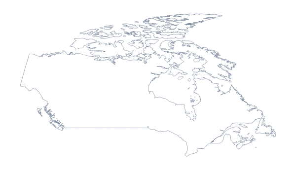
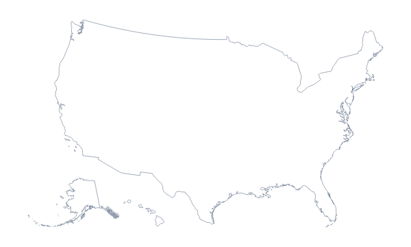
Maps of places in the US and Canada
Questions people ask
Is there a political blank map of the US and Canada?
Yes: the With borders version. It draws the line between Canada and the United States of America and puts no names on either, so each country is a separate shape to colour, name or restyle.
Does the blank map show the states and provinces?
No, it shows the two countries whole. The blank map of US states and the blank map of Canadian provinces draw the divisions inside each country.
Can I open the SVG in Illustrator, Inkscape or Figma?
Yes. The SVG is a vector file, so the outline stays sharp at any size, and each country can be recoloured or given a new line weight in a design tool.