Blank map of NATO
The outline, free as a PNG, SVG or PDF. Label it, colour it in or drop it into a slide.
Using a blank map of NATO
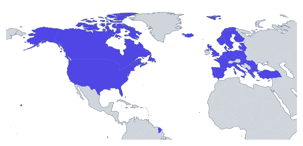
A blank map of NATO is mostly a building block. A policy team places it on the front of a briefing pack, a trainer cuts it into a quiz, a designer redraws it for a conference graphic. The page offers Outline only for the land alone and With borders for the 32 members, each as a PNG with a transparent background, an SVG or a PDF.
In a briefing pack
Set the transparent PNG on the cover of a report in the organisation's colour, with the title across it. Inside, a small copy at the head of each section shows which countries the section is about. If the pack has a dark theme, the transparent background means the outline takes that colour without a box.
A graphic for a briefing
A trainer or a speaker can build a handout around the With borders PNG: set it at the top, then add a short caption for each member the session covers, using the list further down this page for the spelling. When the point is the reach of the group as a whole, take Outline only into a slide and add a single callout.
In a design tool
The SVG opens in Illustrator, Inkscape or Figma. A designer can fill the members in a brand colour and set the other countries pale, thicken the borders for a poster, or add a texture to the whole outline. Because each member is separate, a handful can be pulled out for a callout or shifted for an exploded map.
Choosing
With borders is the political blank map of NATO, the one to pick whenever members need to be told apart. Outline only suits an icon, a stamp or a pale shape behind a title. The PDF prints as it is on A4 or Letter; for print choices such as black and white, use the printable map of NATO. For colours and labels, start from the editable map of NATO.
How to do it in MapMaker
- Choose With borders for the 32 members, or Outline only for the land alone.
- Take the PNG for a slide or a document, or the SVG for a design tool.
- Pick PDF, A4 or PDF, Letter for a copy to print as it is.
- Choose Customise this map to add names, colours or a title, then download from the editor.
The 32 members on the map
A key for labelling the map by hand.
- Albania
- Belgium
- Bulgaria
- Canada
- Croatia
- Czechia
- Denmark
- Estonia
- Finland
- France
- Germany
- Greece
- Hungary
- Iceland
- Italy
- Latvia
- Lithuania
- Luxembourg
- Montenegro
- Netherlands
- North Macedonia
- Norway
- Poland
- Portugal
- Romania
- Slovakia
- Slovenia
- Spain
- Sweden
- Turkey
- United Kingdom
- United States of America
Facts about NATO
32 members are on the map.
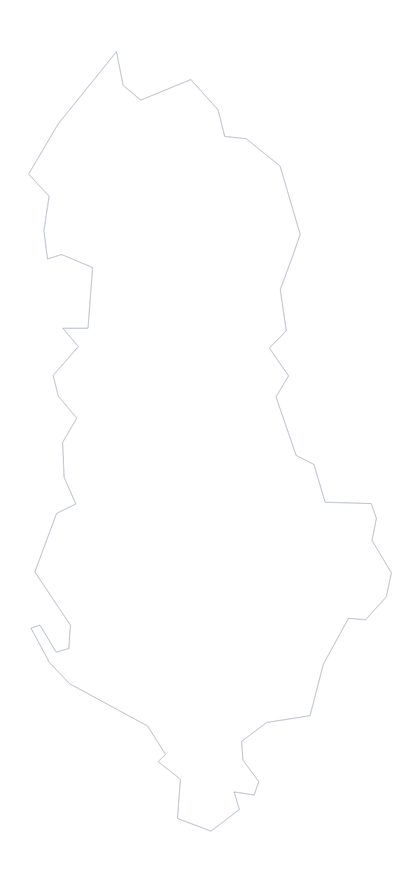
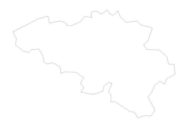
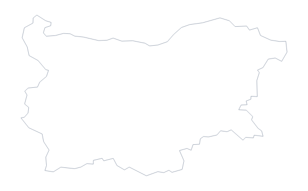
Maps of places in NATO
Questions people ask
Is there a political blank map of NATO?
Yes: the With borders version. It draws the borders of the 32 members on the map, with no names, so each member is a shape you can colour, number or label in your own file.
Which countries are on the blank map of NATO?
The 32 members on the map, from Albania to the United States. The list further down this page gives each one by name, and it works as the answer sheet for a quiz.
Can I open the SVG in Illustrator, Inkscape or Figma?
Yes. The SVG is a vector file, so the lines stay sharp at any size, and each member is a separate shape you can select and recolour in a design tool.
Can I colour the map in before I download it?
Not on this page, which gives the outline as it is. For colours, names or a title, choose Customise this map and download from the editor, or use the editable map of NATO.