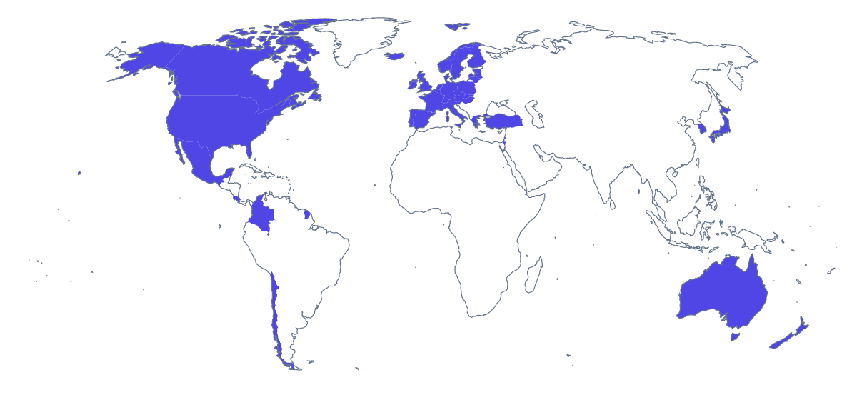
Blank map of the OECD
The outline, free as a PNG, SVG or PDF. Label it, colour it in or drop it into a slide.
Using a blank map of the OECD
A blank map of the OECD usually becomes part of a larger document. An economics teacher drops it into a worksheet on member countries, a policy team uses it on the front of a paper, and a designer redraws it for an infographic. Choose Outline only for the land alone or With borders for the countries drawn in, then the file: a PNG on a transparent background, an SVG or a PDF.
In a report or a deck
Place the transparent PNG on a cover in the report's colour and set the title over it. In a deck, the outline can sit small at the top of each slide as a locator. Because the background is transparent, it needs no cropping, and on a dark slide the outline takes the slide's colour.
A handout on the members
For a handout on the 38 members, put the With borders PNG at the top of a document and write the topic of the paper beneath it, with the countries a text covers filled in one colour in your drawing tool. A second page can use Outline only as a faint backdrop behind a table of figures. The list further down this page gives the spelling of every member.
Designing with the SVG
In a design tool, the SVG's countries are separate shapes. Fill the members in the house colour and leave the rest pale, or add a hatch pattern, thicken the borders, or shrink the opacity for a map behind a column of text. The lines stay sharp at any size, from a slide marker to a banner.
Choosing
With borders is the political blank map of the OECD, the version to pick whenever countries need to be told apart. Outline only suits an icon, a watermark or a pale backdrop. For a colour map with a legend, start from the editable map of the OECD, and for paper choices such as black and white, use the printable map of the OECD.
How to do it in MapMaker
- Choose With borders to draw the countries, or Outline only for the land alone.
- Take the PNG for a slide or a document, or the SVG for a design tool.
- Pick PDF, A4 or PDF, Letter if the page is going to the printer as it is.
- Choose Customise this map to add names, colours or a title, and download from the editor.
The 38 members on the map
A key for labelling the map by hand.
- Australia
- Austria
- Belgium
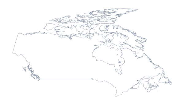
- Canada
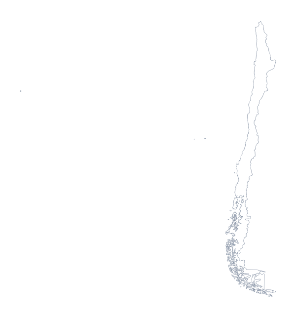
- Chile
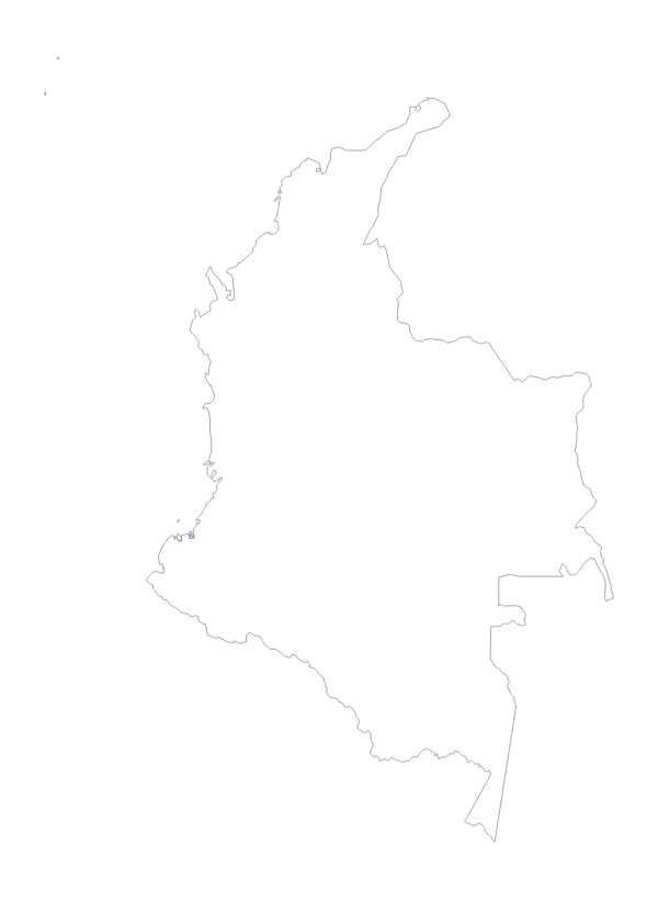
- Colombia
- Costa Rica
- Czechia
- Denmark
- Estonia
- Finland
- France
- Germany
- Greece
- Hungary
- Iceland
- Ireland
- Israel
- Italy
- Japan
- Latvia
- Lithuania
- Luxembourg
- Mexico
- Netherlands
- New Zealand
- Norway
- Poland
- Portugal
- Slovakia
- Slovenia
- South Korea
- Spain
- Sweden
- Switzerland
- Turkey
- United Kingdom
- United States of America
Facts about the OECD
38 members are on the map.
Maps of places in the OECD
Questions people ask
Is there a political blank map of the OECD?
Yes: the With borders version. It draws the borders between countries, with no names, so each country is a shape you can colour, number or label in your own file.
Which countries are on the blank map of the OECD?
The 38 members on the map, from Australia to the United States, are listed by name further down this page. That list is the key if you turn the outline into a labelling quiz.
Which file should I use in a worksheet, a slide or a design?
The PNG for worksheets and slides, since its transparent background takes the colour behind it. The SVG for Illustrator, Inkscape or Figma, where it scales without blurring. The PDF for a copy printed as it is.
How do I add names, a title or my own colours?
This page gives the outline as it is. Choose Customise this map to open it in the editor, where you can show names, colour countries and add a title, then download from there.