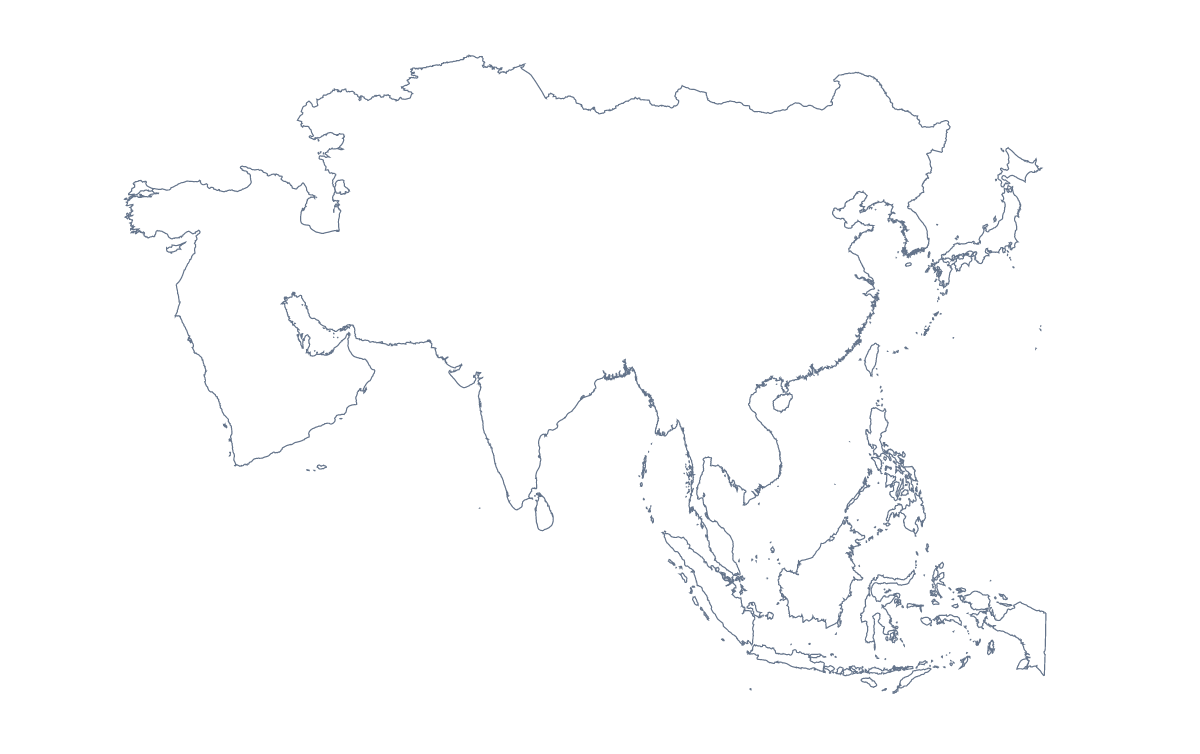
Blank map of Asia
The outline, free as a PNG, SVG or PDF. Label it, colour it in or drop it into a slide.
Using a blank map of Asia
An outline of Asia goes into the things people make about the continent: a regional slide for a company with offices from Turkey to Japan, a worksheet a teacher lays out in their own template, a cover for a travel zine, a menu graphic for a restaurant. With borders draws the 54 countries and territories, and Outline only gives the land as one shape; each comes as a transparent PNG, an SVG or a PDF.
In a design tool
The SVG is where most design work starts. In Illustrator, Inkscape or Figma each country of With borders can be picked out and filled on its own, so a travel agency can highlight the countries in this season's brochure and leave the rest as fine lines. Outline only turns into a silhouette for a logo sketch, a pattern on packaging or a cut vinyl decal.
Quizzes and starters
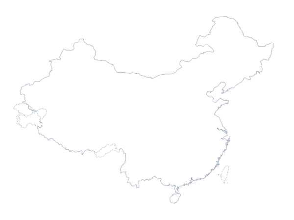
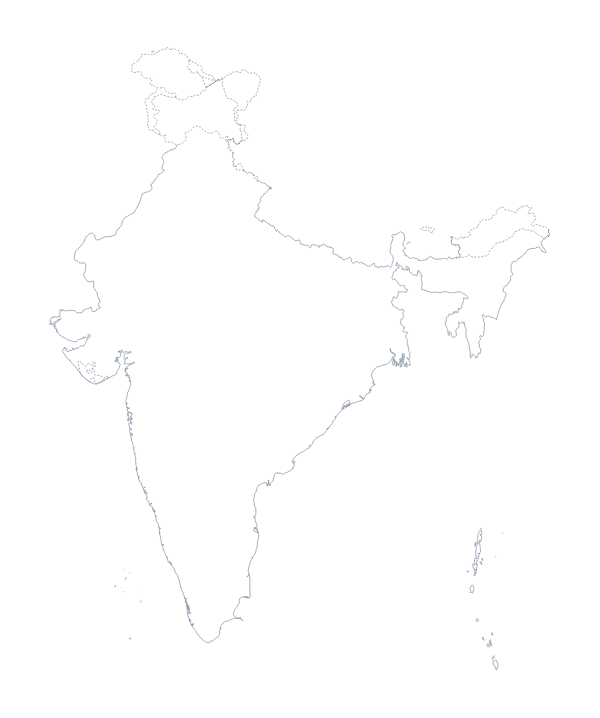
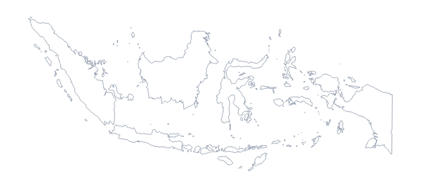
For a "which shape is this?" starter, copy With borders into your slide software, fill Japan or the Philippines in a bright colour and ask the class to name it. A worksheet can put the PNG beside a table of population figures the teacher provides, with a box on each of the most populous countries for pupils to write the figure in; the list further down this page names every country. Older pupils can be handed Outline only and asked to sketch where China, India and Indonesia sit before they check against the political version.
Choosing your file
The political blank map of Asia is the With borders version. Pick it for anything about countries; pick Outline only when the map is small, decorative or a backdrop. The PNG drops into slides and documents with its transparent background; the SVG suits work that will be restyled or printed large; the PDF prints on A4 or Letter as it is. For colours, names or a title, Customise this map opens the outline in the editor, or start from the editable map of Asia. The blank map of East Asia zooms in on one part of the continent.
How to do it in MapMaker
- Choose With borders to keep the countries apart, or Outline only for one shape of the continent.
- Download the SVG for Illustrator, Inkscape or Figma, or the PNG for a slide or worksheet.
- Take PDF, A4 or PDF, Letter when you need the outline on paper as it stands.
- Use Customise this map for names, colours or a title, and download the result from the editor.
The 54 countries and territories on the map
A key for labelling the map by hand.
- Afghanistan
- Akrotiri Sovereign Base Area
- Armenia
- Australian Indian Ocean Territories
- Azerbaijan
- Bahrain
- Bangladesh
- Bhutan
- Brunei
- Cambodia
- China
- Cyprus
- Dhekelia Cantonment
- Georgia
- Hong Kong
- India
- Indonesia
- Iran
- Iraq
- Israel
- Japan
- Jordan
- Kazakhstan
- Kuwait
- Kyrgyzstan
- Laos
- Lebanon
- Macau
- Malaysia
- Mongolia
- Myanmar
- Nepal
- North Korea
- Northern Cyprus
- Oman
- Pakistan
- Palestine
- Philippines
- Qatar
- Saudi Arabia
- Singapore
- South Korea
- Sri Lanka
- Syria
- Taiwan
- Tajikistan
- Thailand
- Timor-Leste
- Turkey
- Turkmenistan
- United Arab Emirates
- Uzbekistan
- Vietnam
- Yemen
Facts about Asia
Asia has 54 countries and territories on the map. The most populous are China, India, Indonesia, Pakistan, Bangladesh, Japan, Philippines, Vietnam, Turkey and Iran.
Maps of places in Asia
Questions people ask
What is the difference between Outline only and With borders?
Outline only draws the land of Asia as a single shape with no lines inside, which suits an icon or a background. With borders adds the borders between its 54 countries and territories, for anything where the countries need to be told apart.
Is there a political blank map of Asia?
Yes. The With borders version is the political blank map: every country drawn as its own shape, with no names, ready for labelling, numbering or filling in a design tool.
Can I open the SVG in Illustrator, Inkscape or Figma?
Yes. The SVG is a vector file, so the outline of Asia stays sharp at any size, and in the With borders version each country can be selected and recoloured on its own.
Is this blank map of Asia free?
Yes. The PNG, the SVG and both PDFs are free to download, in either version, with no account and no sign-up.