Blank map of the Commonwealth
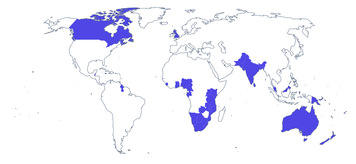
The outline, free as a PNG, SVG or PDF. Label it, colour it in or drop it into a slide.
Using a blank map of the Commonwealth
Choose the version first. With borders draws the lines between the 56 members and is the political blank map of the Commonwealth; Outline only keeps the land as one shape. Each comes as a PNG on a transparent background, an SVG or a PDF on A4 or Letter, and the choice depends on whether the members need telling apart.
For slides, posters and newsletters
An alumni network or a partnership programme can put the transparent PNG on a title slide and add its own markers over the members it works with. A newsletter can use the same file as a header on a coloured band. The SVG goes into Illustrator, Inkscape or Figma at any size, where a designer can fill a few members in a brand colour and leave the rest pale. Because the members are separate shapes, nothing needs tracing.
For a handout or a display
A teacher can paste the PNG into a handout on the Commonwealth and set a text box over each member the unit covers. For a wall display, scale the SVG up in a design tool and fill the members a class has studied as the term goes on. The list further down this page gives the spelling of all 56 members. For class sets on paper, with black and white and colour choices, see the printable map of the Commonwealth.
Choosing the file
PNG for worksheets, documents and slides. SVG when the outline will be restyled or scaled up. PDF to print as it is. Names, colours or a title are for Customise this map, which opens the same outline in the editor.
How to do it in MapMaker
- Choose With borders for the 56 members, or Outline only for the land as one shape.
- Download the PNG for a slide or a worksheet, or the SVG for a design tool.
- Take PDF, A4 or PDF, Letter for a copy that goes to a printer as it is.
- Open Customise this map to add names, colours or a title, then download from the editor.
The 56 members on the map
A key for labelling the map by hand.
- Antigua and Barbuda
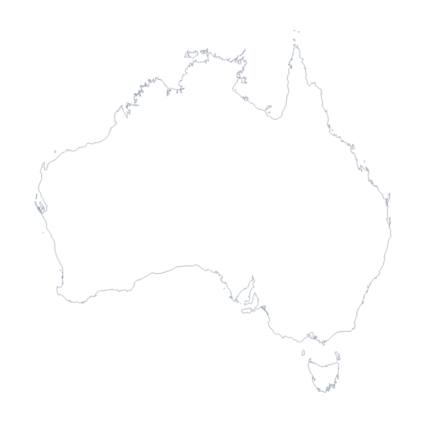
- Australia
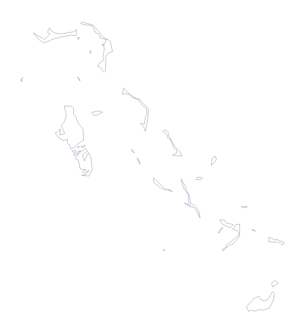
- Bahamas
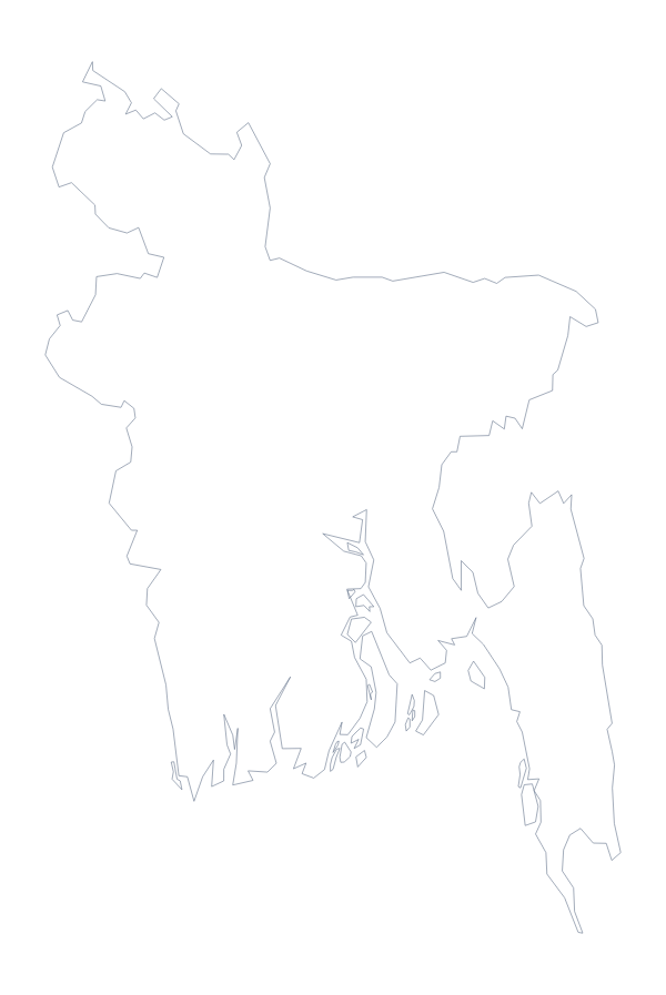
- Bangladesh
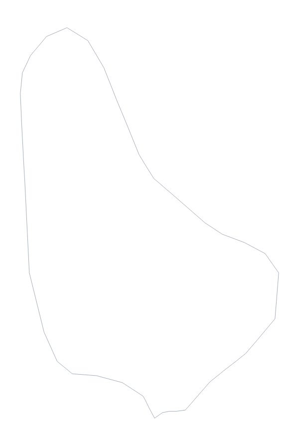
- Barbados
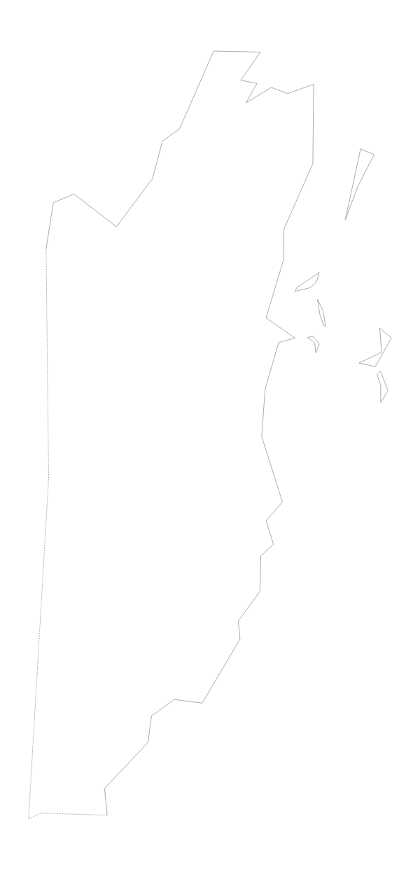
- Belize
- Botswana
- Brunei
- Cameroon
- Canada
- Cyprus
- Dominica
- Eswatini
- Fiji
- Gabon
- Gambia
- Ghana
- Grenada
- Guyana
- India
- Jamaica
- Kenya
- Kiribati
- Lesotho
- Malawi
- Malaysia
- Maldives
- Malta
- Mauritius
- Mozambique
- Namibia
- Nauru
- New Zealand
- Nigeria
- Pakistan
- Papua New Guinea
- Rwanda
- Saint Kitts and Nevis
- Saint Lucia
- Saint Vincent and the Grenadines
- Samoa
- Seychelles
- Sierra Leone
- Singapore
- Solomon Islands
- South Africa
- Sri Lanka
- Tanzania
- Togo
- Tonga
- Trinidad and Tobago
- Tuvalu
- Uganda
- United Kingdom
- Vanuatu
- Zambia
Facts about the Commonwealth
56 members are on the map.
Maps of places in the Commonwealth

Questions people ask
Is there a political blank map of the Commonwealth?
Yes, With borders. It marks the borders between the 56 members without a single name, so you can fill, label or restyle whichever members you like.
Does the PNG have a transparent background?
Yes, for both versions. Place it on a slide or a page in any colour and only the map shows, with no white box around it.
Is there an answer key for a labelling quiz?
Yes. The list further down this page names all 56 members, so number some on your copy of the map and check the answers against it.