Blank map of the G20
The outline, free as a PNG, SVG or PDF. Label it, colour it in or drop it into a slide.
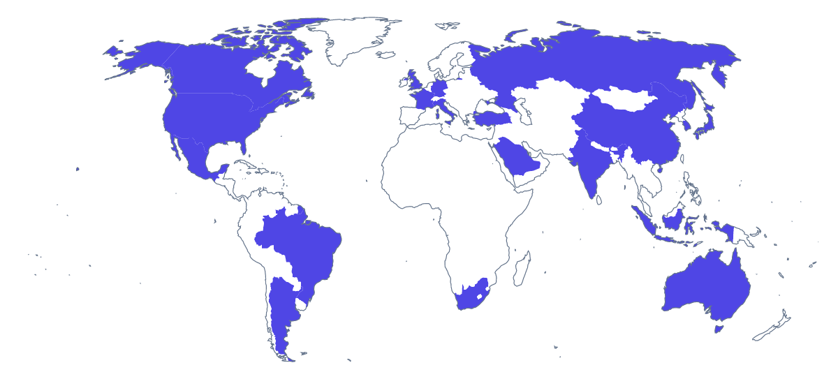
Using a blank map of the G20
Start from the file you need. For a slide or a worksheet, take the PNG: it has a transparent background, so the world takes the colour of the page and you can colour the members yourself. For Illustrator, Inkscape or Figma, take the SVG. For a sheet that goes straight to the printer, take the PDF on A4 or Letter. Each comes as Outline only or With borders, and the 19 members of the G20 are listed further down the page.
The same world, three jobs
A consultant can place the With borders PNG on a slide, fill the 19 members in the company's colour in a drawing tool and put a short list of figures beside it. A teacher can add numbers to ten of the members for a quiz and use the list on this page as the answer sheet. A designer can open the SVG, give the members a brand colour and the rest a pale grey, and export the result as a graphic for a report cover.
Silhouette or political map
Outline only gives the land of the world as one shape, which suits a quiet background behind a title or a few figures. With borders is the political blank map and the right version whenever countries must be told apart. Neither carries names, so you set the labels. The SVG scales without blurring, which helps if the map is going on a poster.
When you need more
Colours, labels and a title are quicker in the editable map of the G20 than in a design tool. For the paper choices, see the printable map of the G20.
How to do it in MapMaker
- Choose With borders to separate the countries, or Outline only for the land alone.
- Download the PNG for a slide or worksheet, or the SVG for a design tool.
- Take PDF, A4 or PDF, Letter for a sheet to print as it is.
- Choose Customise this map to colour the 19 members or add names, then download from the editor.
The 19 members on the map
A key for labelling the map by hand.
- Argentina
- Australia
- Brazil
- Canada
- China
- France
- Germany
- India
- Indonesia
- Italy
- Japan
- Mexico
- Russia
- Saudi Arabia
- South Africa
- South Korea
- Turkey
- United Kingdom
- United States of America
Facts about the G20
19 members are on the map.
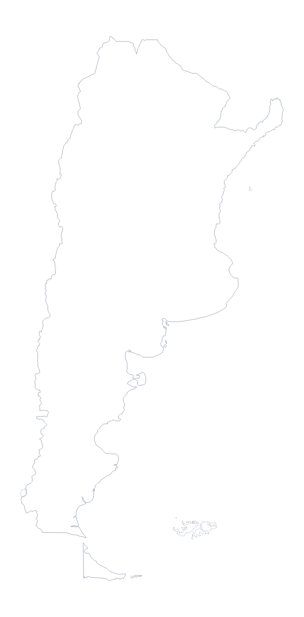
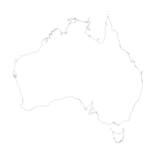
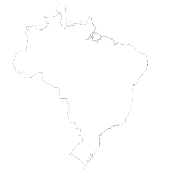
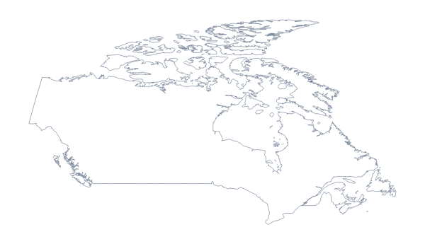
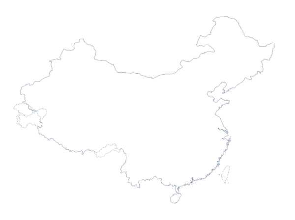
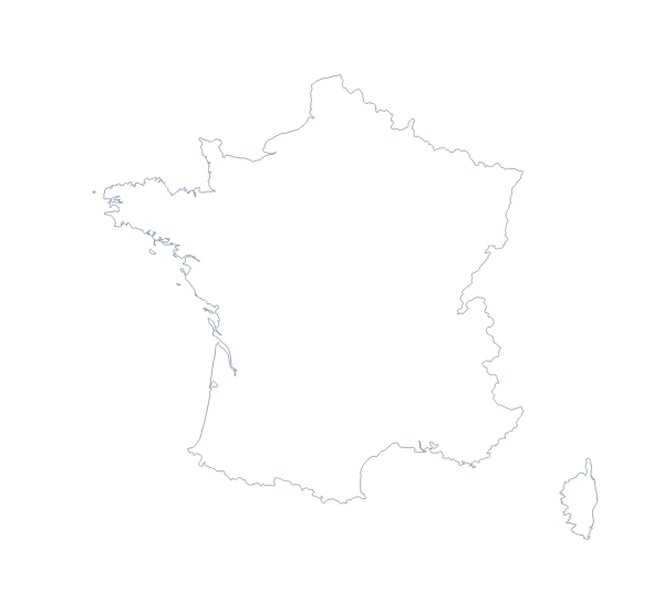
Maps of places in the G20
Questions people ask
Is there a political blank map of the G20?
Yes: the With borders version. It draws the world with every country border and no names. The 19 members are listed further down this page, so you can colour them and leave the rest plain.
What is the difference between Outline only and With borders?
Outline only is the land of the world without the lines between countries, so it reads as continents. With borders adds every country border, which you need when the 19 members must be told apart.
Which file should I use in a worksheet, a slide or a design?
The PNG for a worksheet or slide, because its transparent background takes the colour behind it. The SVG for a design tool, and the PDF on A4 or Letter for a copy printed as it stands.
Does the blank map show the names of the countries?
No. A blank map has no names. The 19 members are listed further down this page, and Customise this map opens the outline in the editor if you want names shown on the map.