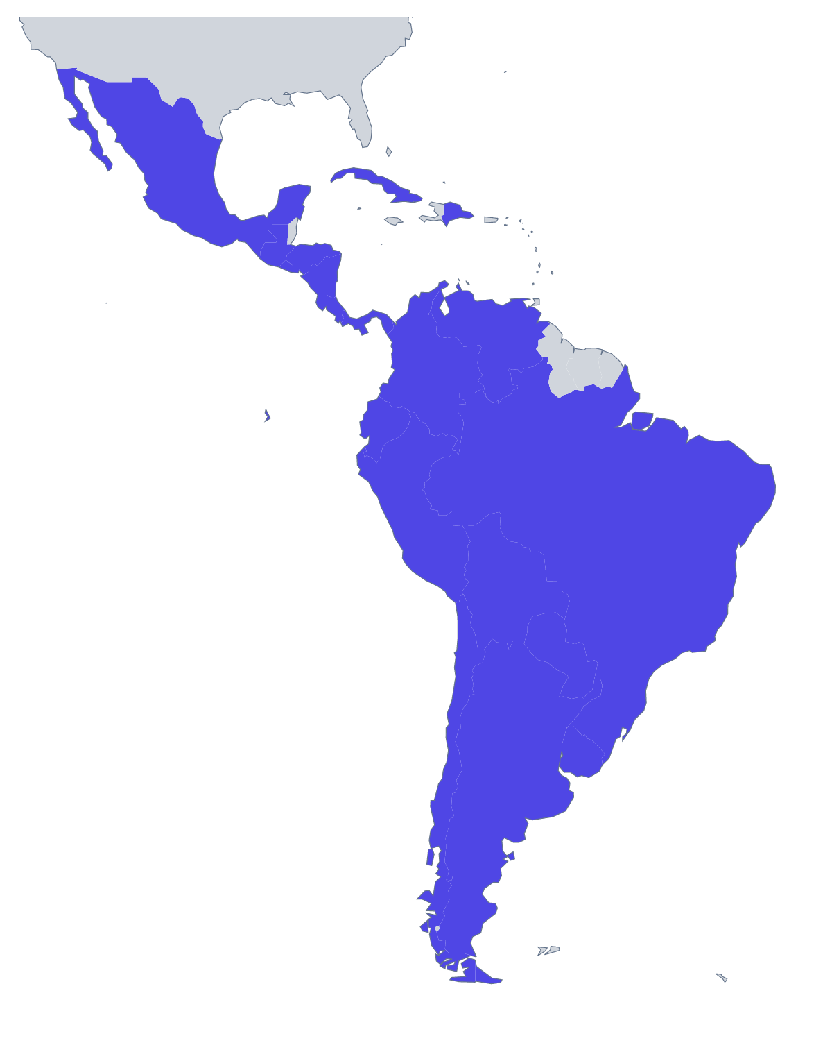
Blank map of Latin America
The outline, free as a PNG, SVG or PDF. Label it, colour it in or drop it into a slide.
Using a blank map of Latin America
People who download the outline of Latin America are mostly putting it into something of their own: the cover of a regional business plan, a title slide for a country-by-country review, a handout for a unit of lessons, a poster for an event. The page has two versions, Outline only for the land as one shape and With borders for the 19 countries, and each one comes as a PNG with a transparent background, an SVG or a PDF.
A cover and a set of slides
A regional business plan can open with the transparent PNG in the corporate blue, titled and dated in the slide software, and the same outline can sit small in the corner of every slide that follows. Because the background is transparent, no white box shows on a coloured slide. A recruitment page for the region, a partner conference badge and a newsletter header can reuse the same file.
A handout for a launch review
For a launch review, put the With borders PNG on the first page of a handout and add a text box beside each country the plan names, with a date or a figure in it. The same layout can open a unit of lessons if the text boxes carry notes on a country the class has chosen. The list further down this page gives the spelling of all 19 countries.
Design work
In a design tool, the SVG can take the region's countries in a gradient, a hand-drawn texture or a single brand colour. Setting each of the 19 shapes apart is quick, because the borders stay as separate lines you can recolour or delete.
Choosing
With borders is the political blank map of Latin America. Outline only is the better choice for an icon, a stamp or a pale shape behind a title. For names, colours or a title on the map, choose Customise this map. If the file is going straight to the printer, use the printable map of Latin America, which has the paper and ink choices.
How to do it in MapMaker
- Choose Outline only for a single shape, or With borders for the 19 countries.
- Download the PNG for slides and documents, or the SVG for a design tool.
- Take PDF, A4 or PDF, Letter when the page is going to be printed as it is.
- Choose Customise this map for names, fills or a title, and download from the editor.
The 19 members on the map
A key for labelling the map by hand.
- Argentina
- Bolivia
- Brazil
- Chile
- Colombia
- Costa Rica
- Cuba
- Dominican Republic
- Ecuador
- El Salvador
- Guatemala
- Honduras
- Mexico
- Nicaragua
- Panama
- Paraguay
- Peru
- Uruguay
- Venezuela
Facts about Latin America
19 members are on the map.
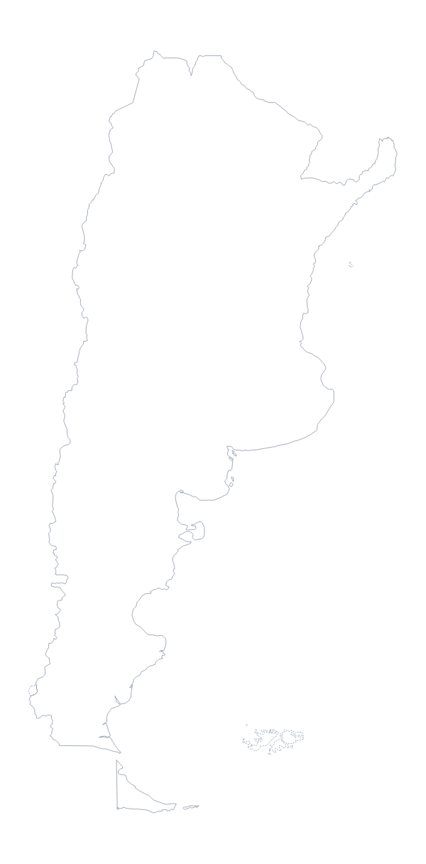
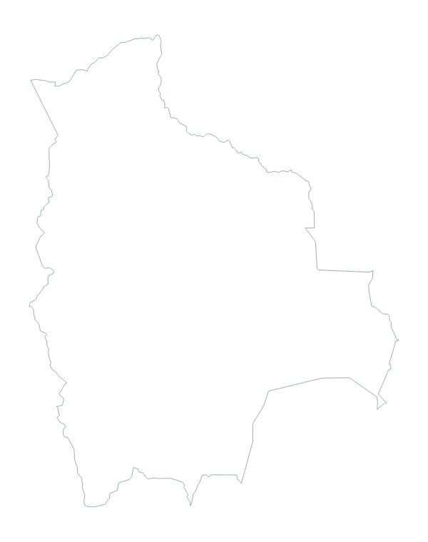
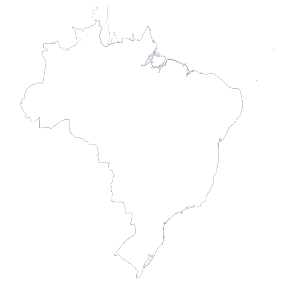
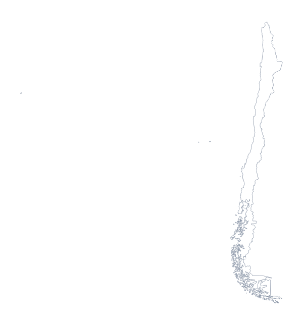
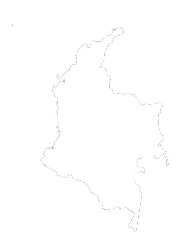
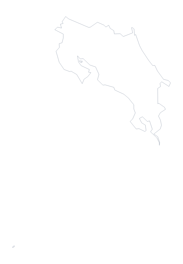
Maps of places in Latin America
Questions people ask
Is there a political blank map of Latin America?
Yes: the With borders version. It draws the 19 countries on the map with the lines between them and no names, so each country is its own shape to colour, number or label in your own file.
Which file should I use in a worksheet, a slide or a design?
Use the PNG for slides and documents, because its transparent background takes the colour behind it. Use the SVG in Illustrator, Inkscape or Figma, where the lines stay sharp at any size, and the PDF for a copy printed as it is.
What is the difference between Outline only and With borders?
Outline only is the land of the region as one shape, with no lines inside it. With borders adds the lines between the 19 countries, which matters whenever a slide or a task needs them told apart.
Which countries are on the blank map of Latin America?
The 19 countries from Argentina to Venezuela, listed by name further down this page. The list can serve as the answer sheet if you turn the outline into a quiz.