Blank map of the Middle East
The outline, free as a PNG, SVG or PDF. Label it, colour it in or drop it into a slide.
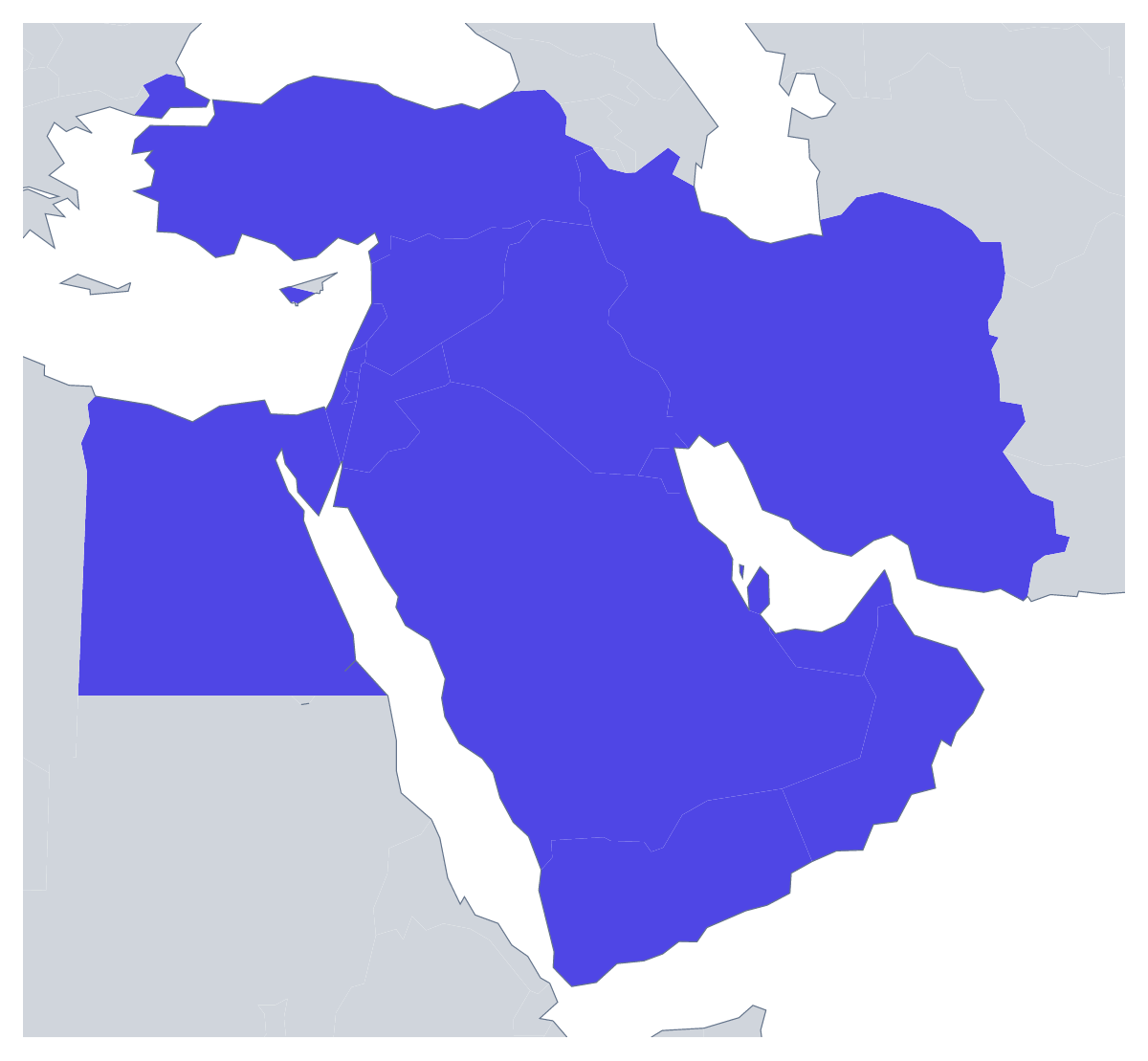
Using a blank map of the Middle East
Requests for a blank map of the Middle East come from three kinds of people: a teacher who wants a labelling sheet in a format of their own, a consultant or analyst who needs the region's shape for a slide, and a designer building an infographic or a briefing graphic. The page has Outline only for the land alone and With borders for the 17 countries, each as a PNG on a transparent background, an SVG or a PDF.
A map for a briefing note
Place the With borders PNG on the first page of a briefing note and set a short paragraph beside each of the countries the note covers. A group project can go the other way: each pair gets one country shape to enlarge, colour and present. The list further down this page gives the spelling of every country.
Slides for a regional review
Set the transparent PNG on a title slide in the company's colour and put the region's name beside it, or reduce it to a corner mark for each following slide. For a section on a single market, the With borders PNG lets you recolour the country in question in a slide editor and leave the rest pale.
Graphics and design
The SVG opens in Illustrator, Inkscape or Figma at any size. A designer can give each of the 17 shapes a different fill for an infographic, simplify the lines for a logo, or place the map behind a column of text with the opacity turned down. If a briefing note needs a map in the house style, trace the outline and set the borders in the house colour.
Choosing
With borders is the political blank map of the Middle East, and the one to pick whenever the countries need to be told apart. Outline only works for a backdrop, an icon or a stamp. For names, colours or a title on the map itself, choose Customise this map. The editable map of the Middle East has a bar for colouring countries before you download.
How to do it in MapMaker
- Choose With borders for the 17 countries, or Outline only for the land of the region.
- Take the PNG for a slide or a worksheet, or the SVG for a design tool.
- Pick PDF, A4 or PDF, Letter when the page is going to print as it is.
- Choose Customise this map for names, fills or a title, and download from the editor.
The 17 members on the map
A key for labelling the map by hand.
- Bahrain
- Cyprus
- Egypt
- Iran
- Iraq
- Israel
- Jordan
- Kuwait
- Lebanon
- Oman
- Palestine
- Qatar
- Saudi Arabia
- Syria
- Turkey
- United Arab Emirates
- Yemen
Facts about the Middle East
17 members are on the map.
Maps of places in the Middle East
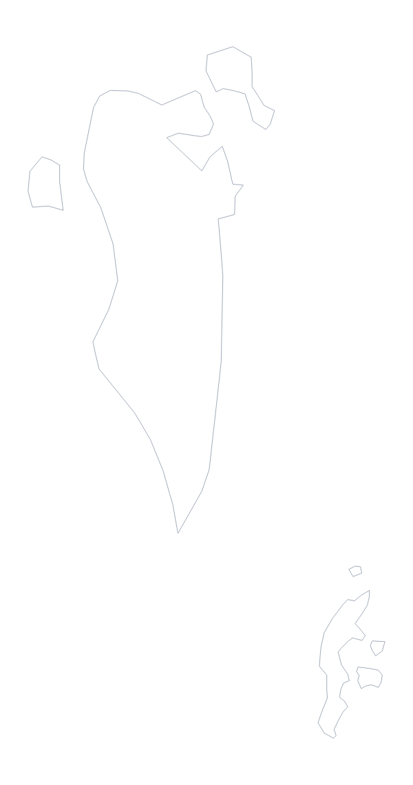
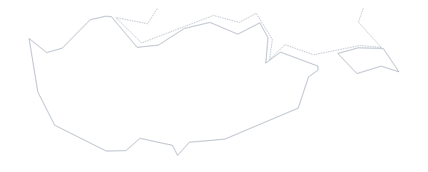
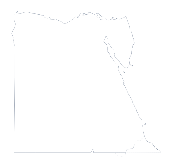
Questions people ask
Is there a political blank map of the Middle East?
Yes: the With borders version. It draws the borders between the 17 countries on the map, with no names, so each country is its own shape to colour, restyle or label later in your own file.
Which file should I use in a worksheet, a slide or a design?
The PNG for worksheets and slides, since its transparent background takes the colour behind it. The SVG for Illustrator, Inkscape or Figma, where the lines scale without blurring. The PDF for a copy to print on A4 or Letter.
Is there an answer key for a labelling quiz?
Yes. The list of countries further down this page names all 17, so it works as the answer sheet. Number the shapes in your own worksheet, and pupils can check their answers against the list.
Does the PNG have a transparent background?
Yes. Only the land is drawn, so the region sits directly on the colour of your slide or page, with no white box around it.