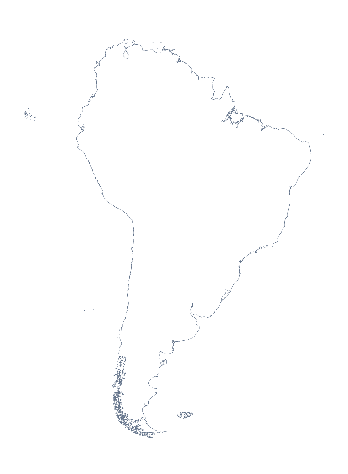
Blank map of South America
The outline, free as a PNG, SVG or PDF. Label it, colour it in or drop it into a slide.
Using a blank map of South America
An outline of South America is a shape people build things on: the cover of a gap-year blog, a tour company's brochure, a slide for a Latin American sales team, a quiz a teacher sets in their own worksheet. With borders draws the 13 countries and territories; Outline only keeps the continent as one shape. Each comes as a transparent PNG, an SVG or a PDF.
Trip graphics and brochures
The SVG opens in Illustrator, Inkscape or Figma at any size. A tour operator can fill the countries a tour visits in its brand colour, leave the others as fine lines and add the route over the top. A traveller can turn Outline only into a simple line drawing for a blog header, a sticker or a printed journal cover.
Slides for the region
On a title slide, the transparent PNG of With borders takes the slide's own background; set office names or headline figures beside it, or fill Brazil, Argentina and Colombia in your theme colours in the slide program for a quick market overview.
A starter for the lesson
On a slide, fill one country of With borders in a bright colour in your slide program and ask the class to name it, then the next, until all 13 countries and territories have had a turn; the list further down this page is the key. A harder version gives only Outline only and asks pupils to draw the borders of Brazil before naming its neighbours from an atlas.
Choosing version and file
With borders is the political blank map of South America and the version to pick for anything about countries. Outline only is the silhouette, for icons and backgrounds. Take the PNG for slides and documents, the SVG for design work or a large print, and the PDF for paper. For colours or names, Customise this map opens the outline in the editor; for print choices such as black and white, see the printable map of South America.
How to do it in MapMaker
- Pick With borders to show the 13 countries and territories, or Outline only for the continent as one shape.
- Download the PNG for a slide or worksheet, or the SVG for a brochure or a blog graphic.
- Choose PDF, A4 or PDF, Letter if the outline is going straight to print.
- Use Customise this map to add names or colours, then download the finished map from the editor.
The 13 countries and territories on the map
A key for labelling the map by hand.
- Argentina
- Bolivia
- Brazil
- Chile
- Colombia
- Ecuador
- Falkland Islands
- Guyana
- Paraguay
- Peru
- Suriname
- Uruguay
- Venezuela
Facts about South America
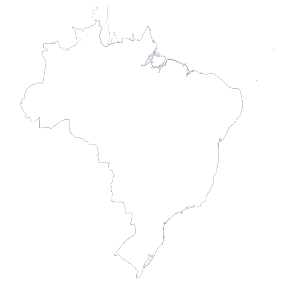
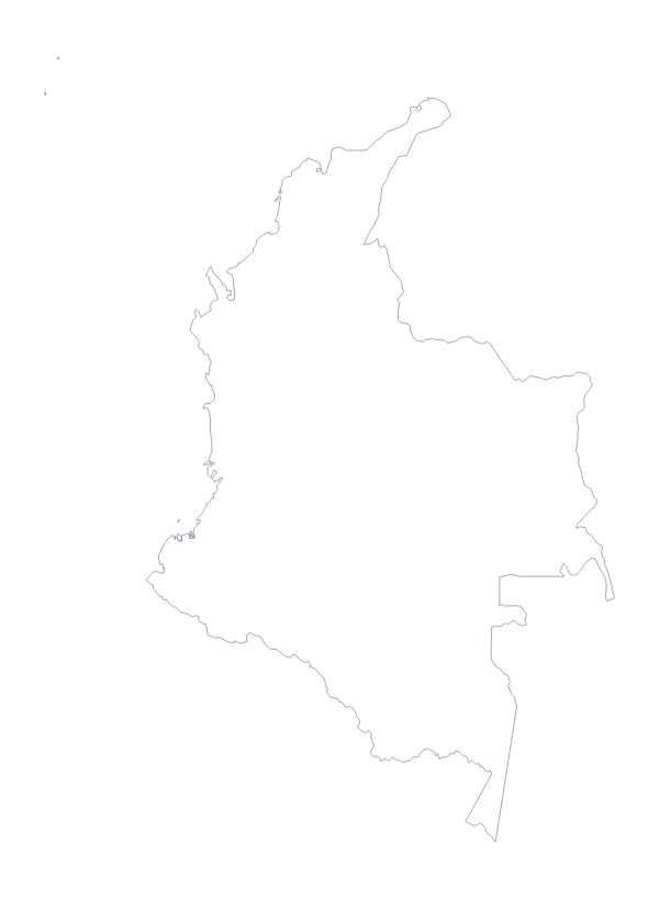
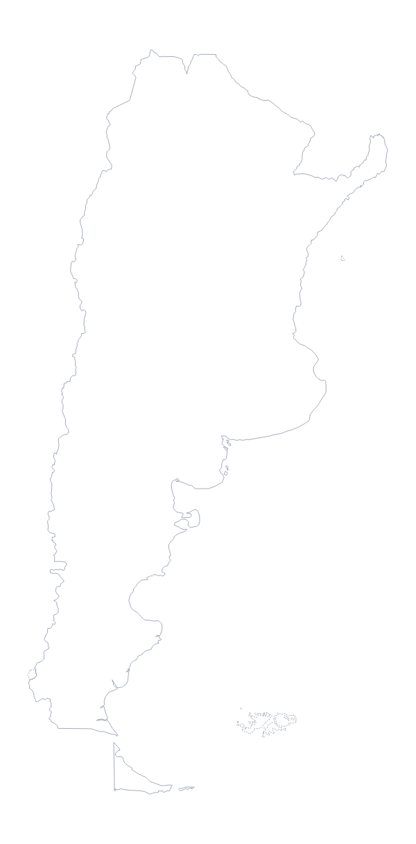
South America has 13 countries and territories on the map. The most populous are Brazil, Colombia, Argentina, Peru, Venezuela, Chile, Ecuador, Bolivia, Paraguay and Uruguay.
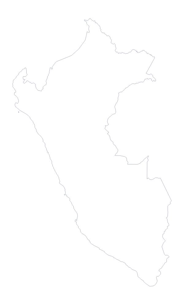
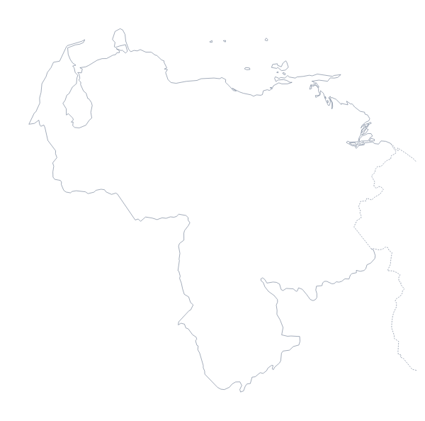
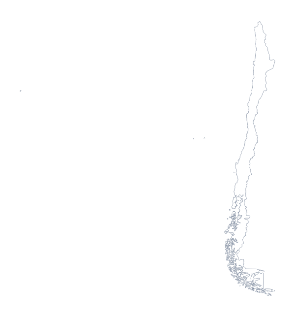
Maps of places in South America
Questions people ask
Is there a political blank map of South America?
Yes, the With borders version. It draws the borders of the 13 countries and territories with no names, so Brazil, Colombia, Argentina and the rest are each a shape you can fill or label.
How many countries does the blank map show?
13 countries and territories, all of them listed by name further down this page. That makes the list a short, easy answer key for a labelling quiz built on the With borders version.
Which file should I use in a worksheet, a slide or a design?
Use the PNG in a worksheet or slide: its background is transparent, so only South America appears. Use the SVG in Illustrator, Inkscape or Figma to restyle or enlarge it, and the PDF to print it as it is.