Blank map of North America
The outline, free as a PNG, SVG or PDF. Label it, colour it in or drop it into a slide.
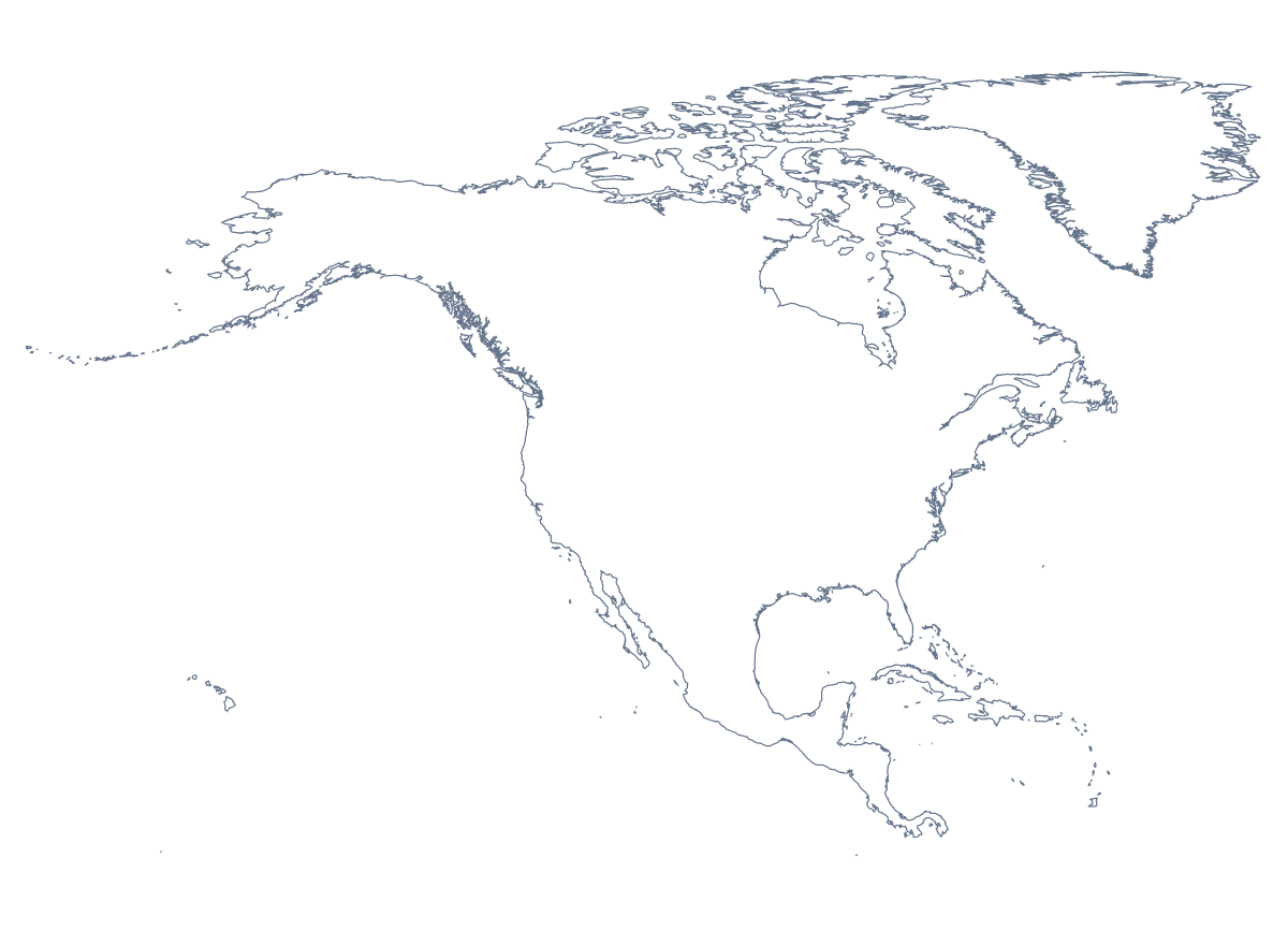
Using a blank map of North America
The outline of North America shows up on road-trip posters, on the first slide of a deck about the US, Canadian and Mexican markets, and in worksheets that a teacher lays out in their own style. With borders separates its 39 countries and territories; Outline only draws the land as one shape. Both come as a PNG with a transparent background, an SVG and a PDF.
Road-trip posters and keepsakes
Take Outline only as an SVG into Illustrator, Inkscape or Figma and you have the base of a road-trip poster: trace your route over the outline, add the towns you stopped in and print it for a frame. With With borders, fill the United States of America, Canada and Mexico in three colours for a tri-country graphic, or pick out the countries a cruise or a family visit took in.
Slides for a North American team
A company that covers the continent can put the transparent PNG on its title slide, in its own colours, and set the names of its regional offices beside it. Because only the land is drawn, the outline looks at home on a dark slide as much as on white.
Flags and names
Paste With borders into a document and line up a row of flags, printed or drawn, along the bottom; pupils draw a line from each flag to its country, then check the names against the list further down this page.
Picking the right download
With borders is the political blank map of North America, the version for anything about individual countries; Outline only is the silhouette, for icons, posters and backgrounds. The PNG goes into slides and documents, the SVG into a design tool or a large print, the PDF onto Letter or A4 paper. On this map each country is a single shape: for the states, use the blank map of the US states. For print settings such as black and white, see the printable map of North America.
How to do it in MapMaker
- Choose With borders for the 39 countries and territories, or Outline only for the land as one shape.
- Download the SVG for a poster or a design tool, or the PNG for a slide.
- Choose PDF, Letter or PDF, A4 to print the outline straight away.
- Open Customise this map to colour countries or add names, then download from the editor.
The 39 countries and territories on the map
A key for labelling the map by hand.
- Anguilla
- Antigua and Barbuda
- Aruba
- Bahamas
- Barbados
- Belize
- Bermuda
- British Virgin Islands
- Canada
- Cayman Islands
- Costa Rica
- Cuba
- Curaçao
- Dominica
- Dominican Republic
- El Salvador
- Greenland
- Grenada
- Guatemala
- Haiti
- Honduras
- Jamaica
- Mexico
- Montserrat
- Nicaragua
- Panama
- Puerto Rico
- Saint Barthélemy
- Saint Kitts and Nevis
- Saint Lucia
- Saint Martin
- Saint Pierre and Miquelon
- Saint Vincent and the Grenadines
- Sint Maarten
- Trinidad and Tobago
- Turks and Caicos Islands
- United States Minor Outlying Islands
- United States of America
- United States Virgin Islands
Facts about North America
North America has 39 countries and territories on the map. The most populous are United States of America, Mexico, Canada, Guatemala, Cuba, Haiti, Dominican Republic, Honduras, Nicaragua and El Salvador.
Maps of places in North America
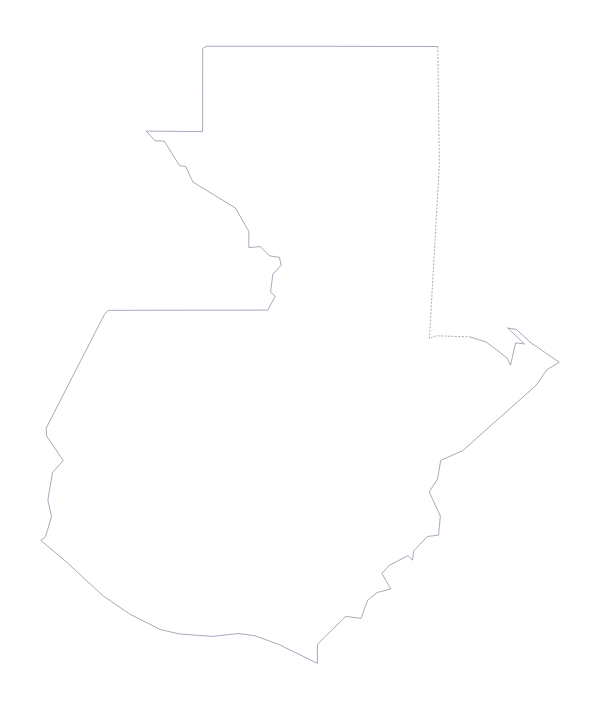
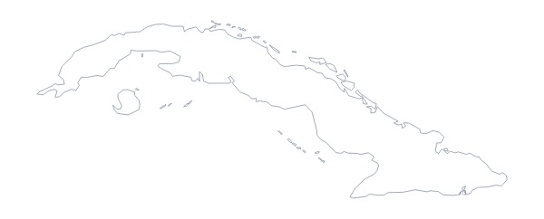
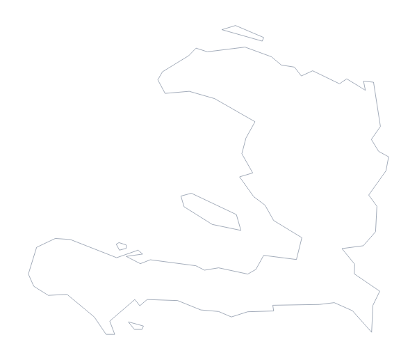
Questions people ask
Is there a political blank map of North America?
Yes, the With borders version. It draws the borders of the 39 countries and territories, the United States of America, Canada and Mexico among them, with no names, so each one is a shape of its own.
Is there a blank map of the US states on its own?
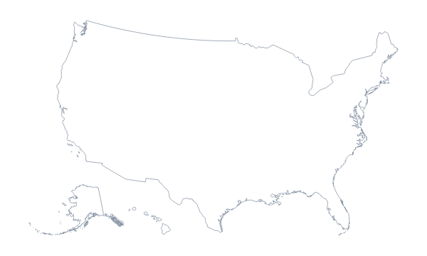
Yes. The blank map of the US states has the outline of the country with every state drawn in, as a PNG, an SVG or a PDF. On the map of the continent the United States of America is one shape.
How is this different from the printable map of North America?
This page gives you the outline as a file to put into your own slide, worksheet or design. The printable page is about paper: PDFs in colour or black and white, ready to print as they are for a class set.