Blank map of Oceania
The outline, free as a PNG, SVG or PDF. Label it, colour it in or drop it into a slide.
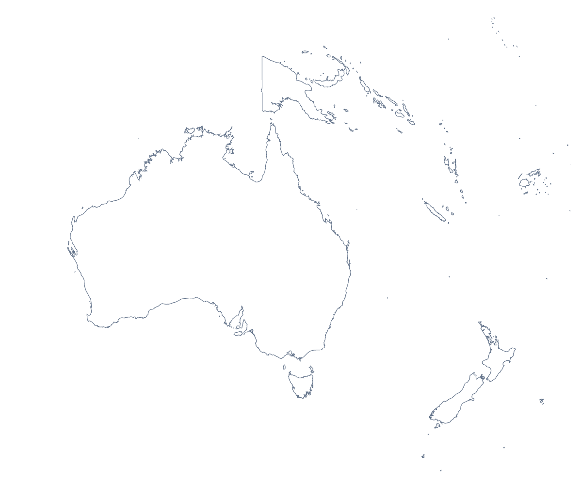
Using a blank map of Oceania
An outline of Oceania suits work about the region: a slide for an Australia and New Zealand team, a poster for a festival of Oceania, a cover for a report on aid programmes, a worksheet in a teacher's own template. With borders draws the 24 countries and territories; Outline only shows the land without the lines between them. Take it as a transparent PNG, an SVG or a PDF.
Design with the SVG
In Illustrator, Inkscape or Figma, the SVG of With borders gives each country as a separate shape. Because many of them are small at this scale, a designer can enlarge the whole map without losing sharpness, then pick out Fiji, Samoa or Vanuatu in a bold colour for a festival poster or a travel brochure. Outline only makes a simple silhouette for a logo sketch, a stamp or a T-shirt for a school evening on Oceania.
On slides
For an Australia and New Zealand team, the transparent PNG on a title slide takes the deck's background colour; set the office names beside Australia and New Zealand. In a report on programmes in the region, a small outline on each section divider keeps the region in view.
Teaching with your own sheet
Paste With borders into a worksheet beside a short fact file for each of Papua New Guinea, the Solomon Islands and Vanuatu, written by the teacher; pupils match each file to its country and colour it. The list of countries further down this page is the key.
Choosing what to download
The political blank map of Oceania is the With borders version, the one to take whenever countries need telling apart. Outline only is for icons and backgrounds. The PNG suits slides and documents, the SVG design work and large prints, and the PDF a copy on A4 or Letter. For colours or names, choose Customise this map; for the states of Australia, use the blank map of the Australian states.
How to do it in MapMaker
- Choose With borders for the 24 countries and territories, or Outline only for the land as one shape.
- Download the SVG to enlarge or restyle the map, or the PNG for a slide or worksheet.
- Print straight from PDF, A4 or PDF, Letter when you need a paper copy as it is.
- Use Customise this map for names, colours or a title, then download from the editor.
The 24 countries and territories on the map
A key for labelling the map by hand.
- American Samoa
- Australia
- Cook Islands
- Fiji
- French Polynesia
- Guam
- Kiribati
- Marshall Islands
- Micronesia
- Nauru
- New Caledonia
- New Zealand
- Niue
- Norfolk Island
- Northern Mariana Islands
- Palau
- Papua New Guinea
- Pitcairn Islands
- Samoa
- Solomon Islands
- Tonga
- Tuvalu
- Vanuatu
- Wallis and Futuna
Facts about Oceania
Oceania has 24 countries and territories on the map. The most populous are Australia, Papua New Guinea, New Zealand, Fiji, Solomon Islands, Vanuatu, New Caledonia, French Polynesia, Samoa and Guam.
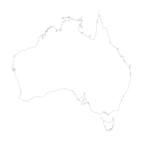
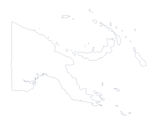
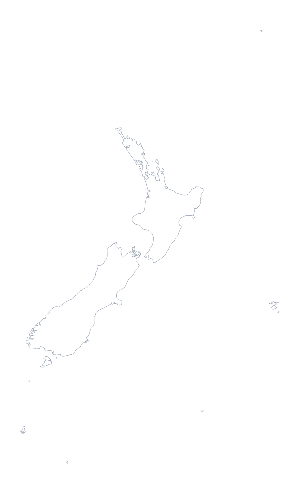
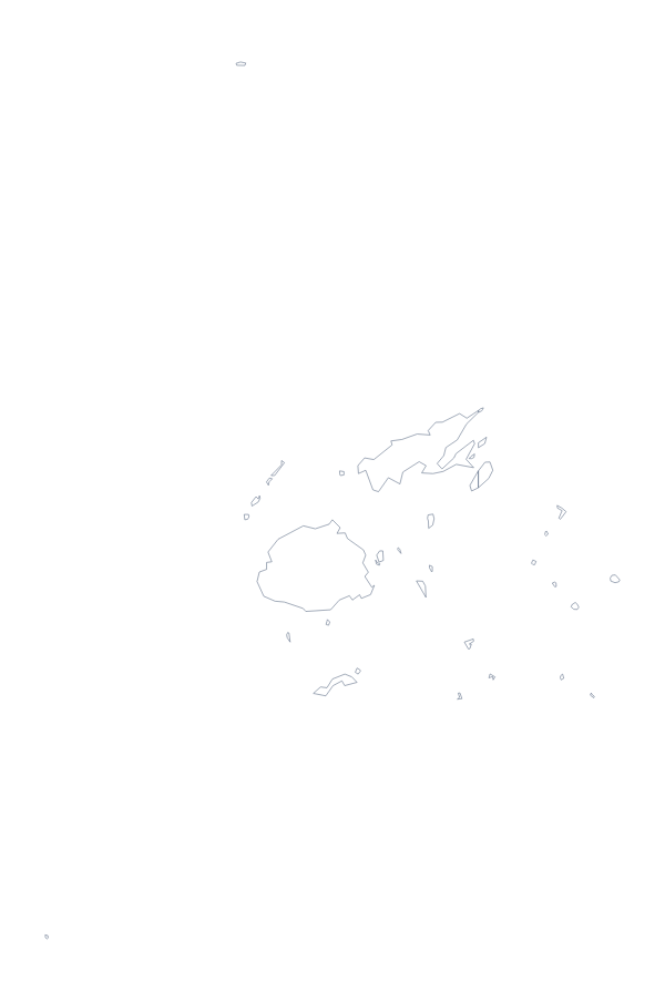
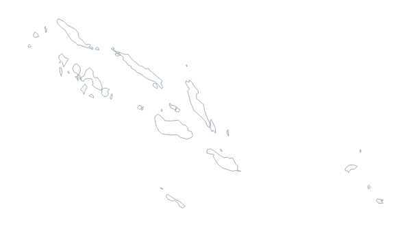
Maps of places in Oceania

Questions people ask
Is there a political blank map of Oceania?
Yes, the With borders version. It draws the borders of its 24 countries and territories, such as Australia, New Zealand, Papua New Guinea and Fiji, with no names, ready to colour or label.
Can I make the outline bigger without it going blurry?
Take the SVG, or the PDF for paper. As vector files they can be scaled up as far as you like with no blur, which gives the smaller countries of Oceania room on a poster.
Does the blank map show the names of the countries?
No. The outline carries no names at all; the 24 countries and territories are named in the list lower on this page. To print names on the map, open it with Customise this map and show them in the editor.
Can I open the SVG in Illustrator, Inkscape or Figma?
Yes. The SVG opens in all three, and in the With borders version each country of Oceania is its own shape, so you can fill, recolour or remove them one at a time.